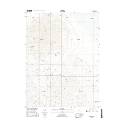
2017 Map of Gold Hill
USGS Topo · Published 2017About this map
Gold Hill stands as the central landmark of this Tooele County map, where the high desert terrain of the Great Salt Lake Desert meets the dramatic elevations of Dutch Mtn and Woodman Peak. This 2017 survey reveals an arid landscape defined by deep drainages and isolated water sources, essential for the historic mining and ranching activities that once defined this remote interior. Significant local navigation is guided by landmarks like Lucky Day Knob and the winding course of Gold Hill Wash.
Find a feature on this map
29 named features on this map. Tap any name to fly to it.
Don’t see what you’re looking for? This feature index may not catch every label — zoom into the map to look around manually.
Map Details
Editions of this 2017 Gold Hill Map
This is the sole edition of this map. No revisions or reprints were ever made.
Other maps of this area

1925 · Gold Hill
USGS Topo · 1:62,500

1928 · Gold Hill
USGS Topo · 1:62,500

1953 · Tooele
USGS Topo · 1:250,000

1955 · Tooele
USGS Topo · 1:250,000

1972 · Elephant Knoll
USGS Topo · 1:24,000

1972 · Elephant Knoll SE
USGS Topo · 1:24,000
1973 · Ochre Mountain
USGS Topo · 1:24,000
1973 · Gold Hill
USGS Topo · 1:24,000
1973 · Ibapah
USGS Topo · 1:24,000

1973 · Gold Hill 1 SW
USGS Topo · 1:24,000