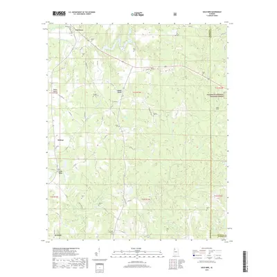
2018 Map of Gold Mine
USGS Topo · Published 2018About this map
Brilliant and the eponymous Gold Mine settlement anchor this landscape in northwestern Alabama, where the rolling hills of the Cumberland Plateau meet the dense woodlands of the William B. Bankhead National Forest. The map reveals a high density of small family and community cemeteries, such as Old Mars Hill Cem, Barton Cem, and Myers Hill Cem, which suggest deep-rooted ancestral ties across the rural countryside. Water defines the terrain, with the Buttahatchee River and Lake Buttahatchee in the north and the New River system to the south. The network of county roads, including Co RD 162 and Co HWY 8, connects dispersed residential pockets like Sunny Home and Whitehouse, illustrating a traditional Southern settlement pattern where life follows the ridgelines and creek beds.
Find a feature on this map
73 named features on this map. Tap any name to fly to it.
Don’t see what you’re looking for? This feature index may not catch every label — zoom into the map to look around manually.
Map Details
Editions of this 2018 Gold Mine Map
This is the sole edition of this map. No revisions or reprints were ever made.
Other maps of this area

1936 · Delmar
USGS Topo · 1:24,000

1936 · South Of Hackleburg
USGS Topo · 1:24,000

1936 · Goddard
USGS Topo · 1:24,000

1953 · Birmingham
USGS Topo · 1:250,000

1956 · Birmingham
USGS Topo · 1:250,000

1956 · Gadsden
USGS Topo · 1:250,000

1957 · Birmingham
USGS Topo · 1:250,000

1958 · Gadsden
USGS Topo · 1:250,000
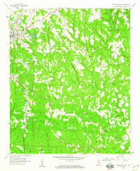
1958 · Haleyville East
USGS Topo · 1:24,000
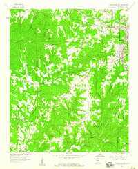
1958 · Haleyville West
USGS Topo · 1:24,000