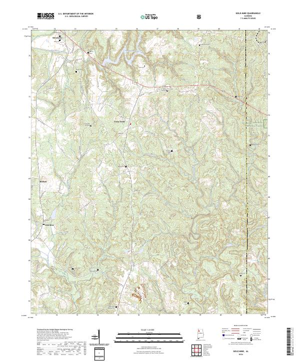
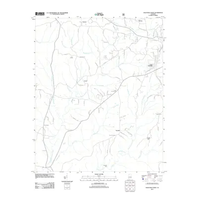
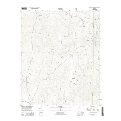
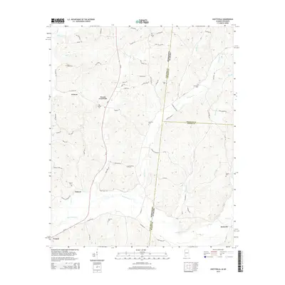
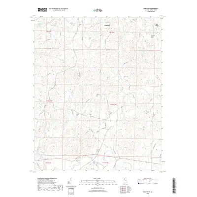
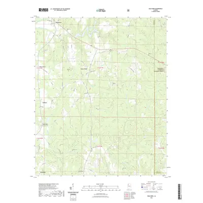
2024 Map of Gold Mine
USGS Topo · Published 2024About this map
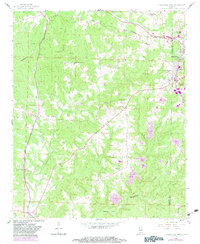
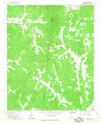
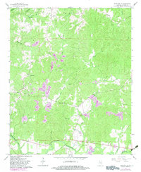
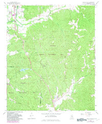
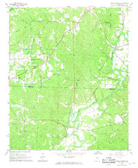
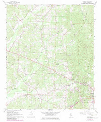
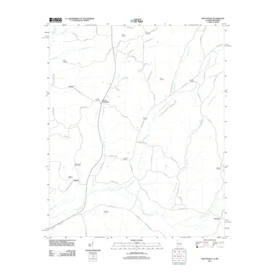
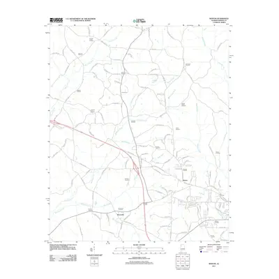
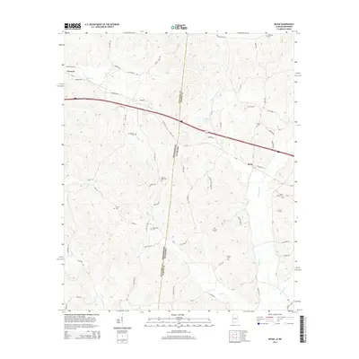
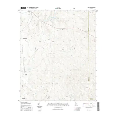
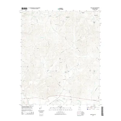
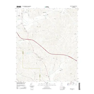
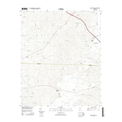
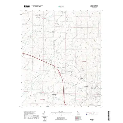
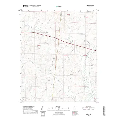
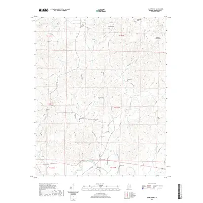
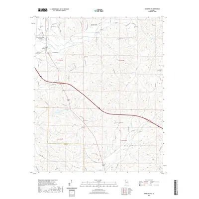
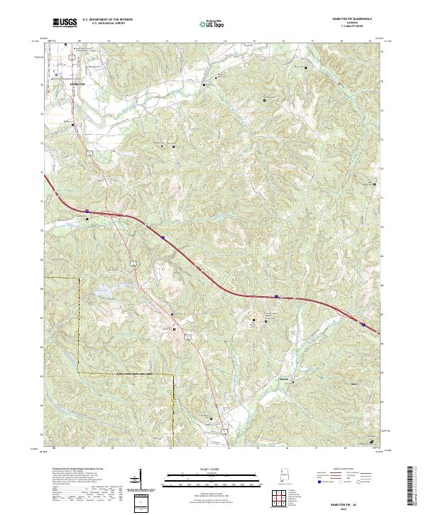
Buttahatchee River meanders through this portion of Marion County, anchoring a landscape defined by small settlements and numerous family and community burial grounds. The map documents the rural character of areas like Whitehouse, Sunny Home, and Brilliant, where the terrain is crisscrossed by an extensive network of county roads such as Co RD 19 and Co RD 59. The southeastern corner transitions into the protected lands of the William B. Bankhead National Forest, showing the proximity of managed timberland to established local communities.
Find a feature on this map
58 named features on this map. Tap any name to fly to it.
Don’t see what you’re looking for? This feature index may not catch every label — zoom into the map to look around manually.
Map Details
Editions of this 2024 Gold Mine Map
This is the sole edition of this map. No revisions or reprints were ever made.
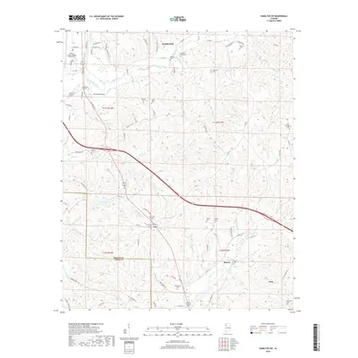
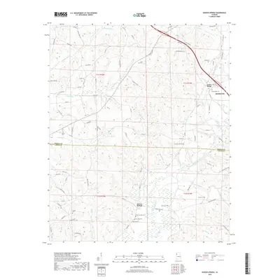
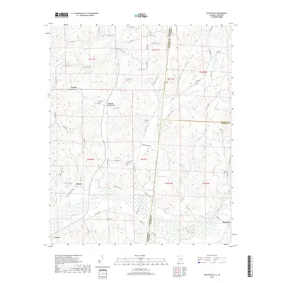
Historical Maps of Brilliant Through Time
49 maps found
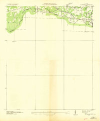
1936 Goddard
Marion County, AL
1936 South Of Hackleburg
Marion County, AL
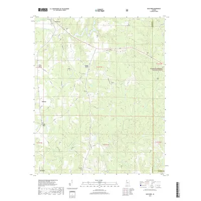
1958 Gold Mine
Marion County, AL
1958 Haleyville West
Marion County, AL
1967 Bexar
Marion County, AL
1967 Hamilton NE
Marion County, AL
1967 Hamilton SW
Marion County, AL
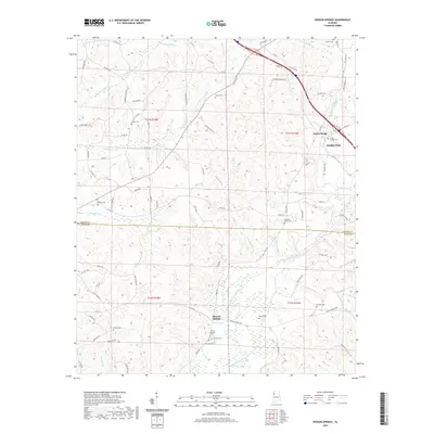
1967 Henson Springs
Marion County, AL
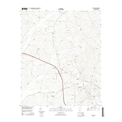
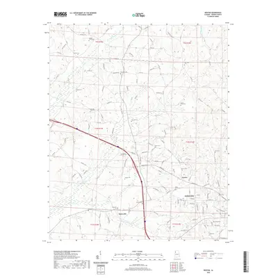
1967 Weston
Marion County, AL
2011 Bexar
Marion County, AL
2011 Gold Mine
Marion County, AL
2011 Haleyville West
Marion County, AL
2011 Hamilton NE
Marion County, AL
2011 Hamilton SW
Marion County, AL
2011 Henson Springs
Marion County, AL
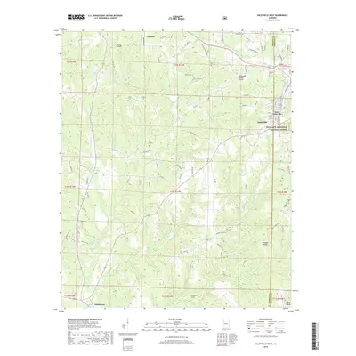
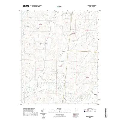
2011 Shottsville
Marion County, AL
2011 Weston
Marion County, AL
2014 Bexar
Marion County, AL
2014 Gold Mine
Marion County, AL
2014 Haleyville West
Marion County, AL
2014 Hamilton NE
Marion County, AL
2014 Hamilton SW
Marion County, AL
2014 Henson Springs
Marion County, AL
2014 Shottsville
Marion County, AL
2014 Weston
Marion County, AL

2018 Bexar
Marion County, AL
2018 Gold Mine
Marion County, AL
2018 Haleyville West
Marion County, AL
2018 Hamilton NE
Marion County, AL
2018 Hamilton SW
Marion County, AL
2018 Henson Springs
Marion County, AL
2018 Shottsville
Marion County, AL
2018 Weston
Marion County, AL
2020 Bexar
Marion County, AL
2020 Hamilton NE
Marion County, AL
2020 Hamilton SW
Marion County, AL
2020 Henson Springs
Marion County, AL
2020 Shottsville
Marion County, AL
2020 Weston
Marion County, AL
2021 Gold Mine
Marion County, AL
2021 Haleyville West
Marion County, AL
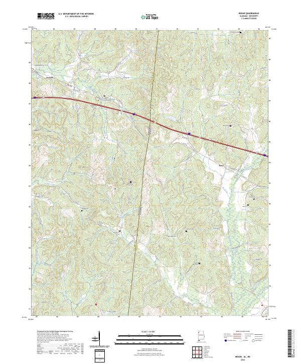
2024 Bexar
Marion County, AL
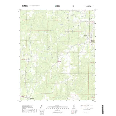
2024 Gold Mine
Marion County, AL
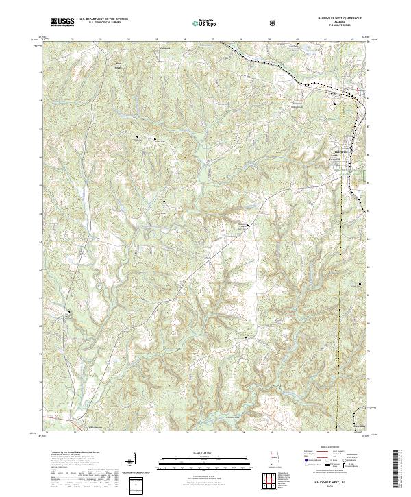
2024 Haleyville West
Marion County, AL
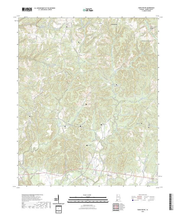
2024 Hamilton NE
Marion County, AL
2024 Hamilton SW
Marion County, AL
2024 Henson Springs
Marion County, AL
2024 Shottsville
Marion County, AL
2024 Weston
Marion County, AL