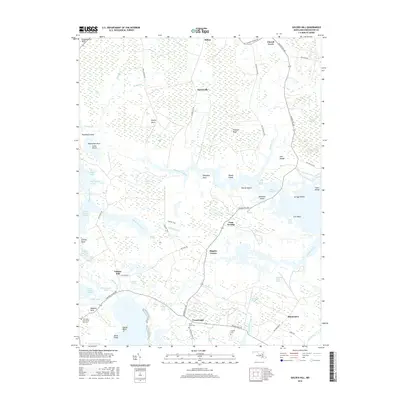
2016 Map of Golden Hill
USGS Topo · Published 2016About this map
Golden Hill and the surrounding marshlands of Dorchester County appear here in a modern survey that highlights the intricate network of tidal creeks and low-lying necks characteristic of the Chesapeake's eastern shore. Small inland settlements like Harrisville, Riggins Corner, and Crossroads are connected by narrow roads such as Smithville Rd and Hip Roof Rd, tracing the higher ground between expansive wetlands. The landscape is defined by its relation to the water, from the winding course of the Blackwater River to the isolated stands of Woods Island and Bettys Island.
Find a feature on this map
76 named features on this map. Tap any name to fly to it.
Don’t see what you’re looking for? This feature index may not catch every label — zoom into the map to look around manually.
Map Details
Editions of this 2016 Golden Hill Map
This is the sole edition of this map. No revisions or reprints were ever made.
Other maps of this area

1892 · Drum Point
USGS Topo · 1:62,500

1893 · Sharps Island
USGS Topo · 1:62,500

1898 · Choptank
USGS Topo · 1:125,000

1898 · St. Marys
USGS Topo · 1:125,000

1901 · Drum Point
USGS Topo · 1:62,500

1904 · Sharps Island
USGS Topo · 1:62,500

1904 · Oxford
USGS Topo · 1:62,500

1905 · Crapo
USGS Topo · 1:62,500

1905 · Drum Point
USGS Topo · 1:62,500

1906 · St. Marys
USGS Topo · 1:125,000