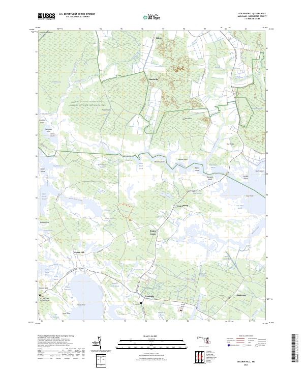
2023 Map of Golden Hill
USGS Topo · Published 2023About this map
The Harriet Tubman Underground Railroad National Historical Park preserves a landscape of profound historical weight within the tidal marshes of Dorchester County. This environment is characterized by an intricate network of waterways and low-lying peninsulas like Peters Neck and Buttons Neck, which provided both a sanctuary and a perilous path for those seeking freedom. The land is largely dominated by the Blackwater National Wildlife Refuge, where the Blackwater River snakes through vast wetlands such as Moneystump Swamp and Hog Range Marsh. Small rural crossroads like Harrisville, Riggins Corner, and Golden Hill are connected by roads that navigate around the rising tides of the Honga River. Local history is anchored in sites like the Saint Mary Star of the Sea Catholic Cem and the Gootee Family Cem, marking generations of settlement in this coastal marshland.
Find a feature on this map
80 named features on this map. Tap any name to fly to it.
Don’t see what you’re looking for? This feature index may not catch every label — zoom into the map to look around manually.
Map Details
Editions of this 2023 Golden Hill Map
This is the sole edition of this map. No revisions or reprints were ever made.
Other maps of this area

1892 · Drum Point
USGS Topo · 1:62,500

1893 · Sharps Island
USGS Topo · 1:62,500

1898 · Choptank
USGS Topo · 1:125,000

1898 · St. Marys
USGS Topo · 1:125,000

1901 · Drum Point
USGS Topo · 1:62,500

1904 · Sharps Island
USGS Topo · 1:62,500

1904 · Oxford
USGS Topo · 1:62,500

1905 · Crapo
USGS Topo · 1:62,500

1905 · Drum Point
USGS Topo · 1:62,500

1906 · St. Marys
USGS Topo · 1:125,000