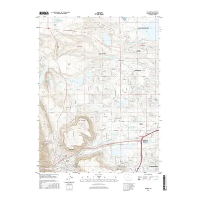
2016 Map of Golden
USGS Topo · Published 2016About this map
Golden and its surrounding geological landmarks define this landscape, where the dramatic mesas of N Table Mtn and S Table Mtn overlook the valley. The map documents the extensive water management infrastructure of the Front Range, featuring the Croke Canal and numerous reservoirs such as Standley Lake and Ralston Reservoir. Education and industry are central to the area's identity, anchored by the Colorado Sch of Mines and the Warren Technology N Sch. Local history is preserved in several burial grounds, including the Mount Olivet Cem and the specialized White Ash Mine Cem. The residential growth of Arvada, Wheat Ridge, and Lakewood contrasts with the specialized facilities and open reaches of Rocky Flats to the north, providing a detailed view of Jefferson County's developed and natural character.
Find a feature on this map
250 named features on this map. Tap any name to fly to it.
Don’t see what you’re looking for? This feature index may not catch every label — zoom into the map to look around manually.
Map Details
Editions of this 2016 Golden Map
This is the sole edition of this map. No revisions or reprints were ever made.
Other maps of this area

1899 · West Denver
USGS Topo · 1:125,000

1906 · Blackhawk
USGS Topo · 1:62,500

1938 · Morrison
USGS Topo · 1:24,000

1939 · Golden
USGS Topo · 1:24,000

1940 · Lafayette
USGS Topo · 1:31,680

1941 · Arvada
USGS Topo · 1:31,680

1941 · Fort Logan
USGS Topo · 1:31,680

1942 · Eldorado Springs
USGS Topo · 1:24,000

1942 · Morrison
USGS Topo · 1:31,680

1942 · Golden
USGS Topo · 1:31,680