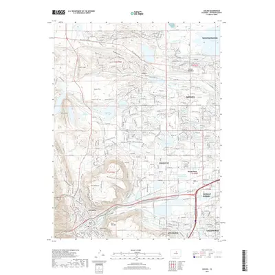
2019 Map of Golden
USGS Topo · Published 2019About this map
Golden stands as the focal point of this Jefferson County landscape, positioned at the mouth of Golden Gate Canyon where the foothills meet the plains. The terrain is dramatically defined by the basalt-capped mesas of North Table Mtn and South Table Mtn, with the prominent landmark of Castle Rock overlooking the town. This survey illustrates the intricate water management system essential to the region's development, featuring the Agricultural Ditch, Wannamaker Ditch, and Rocky Mountain Ditch alongside natural courses like Clear Creek. To the east, the suburban growth of Arvada and Lakewood presses against these geological barriers. Significant local landmarks include the sprawling grounds of Mount Olivet Cem and the waters of Standley Lake in the northeastern corner, highlighting the area's transition from a mountain gateway to a major residential corridor.
Find a feature on this map
173 named features on this map. Tap any name to fly to it.
Don’t see what you’re looking for? This feature index may not catch every label — zoom into the map to look around manually.
Map Details
Editions of this 2019 Golden Map
This is the sole edition of this map. No revisions or reprints were ever made.
Other maps of this area

1899 · West Denver
USGS Topo · 1:125,000

1906 · Blackhawk
USGS Topo · 1:62,500

1938 · Morrison
USGS Topo · 1:24,000

1939 · Golden
USGS Topo · 1:24,000

1940 · Lafayette
USGS Topo · 1:31,680

1941 · Arvada
USGS Topo · 1:31,680

1941 · Fort Logan
USGS Topo · 1:31,680

1942 · Eldorado Springs
USGS Topo · 1:24,000

1942 · Morrison
USGS Topo · 1:31,680

1942 · Golden
USGS Topo · 1:31,680