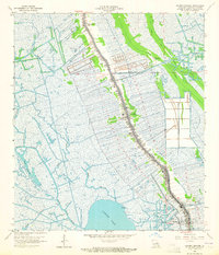
1964 Map of Golden Meadow
USGS Topo · Published 1965About this map
Bayou Lafourche serves as the central spine of this 1960s coastal landscape, anchoring a dense ribbon of settlement that stretches from Belle Amie down through Galliano to Golden Meadow. This linear development pattern, characteristic of South Louisiana's chenier and levee topography, contrasts sharply with the surrounding wetlands. The map documents an economy heavily reliant on petroleum extraction and water management, evidenced by the extensive Golden Meadow Oil and Gas Field and the Bully Camp Oil and Gas Field.
Find a feature on this map
32 named features on this map. Tap any name to fly to it.
Don’t see what you’re looking for? This feature index may not catch every label — zoom into the map to look around manually.
Map Details
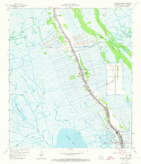
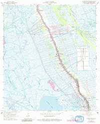
Editions of this 1964 Golden Meadow Map
3 editions found
Other maps of this area

1892 · Barataria
USGS Topo · 1:62,500

1892 · Cut-Off
USGS Topo · 1:62,500

1892 · Creole
USGS Topo · 1:62,500

1894 · Lake Felicity
USGS Topo · 1:62,500

1935 · Viguerie Canal
USGS Topo · 1:31,680

1935 · Bay Courant
USGS Topo · 1:31,680

1935 · Golden Meadow
USGS Topo · 1:31,680

1935 · Mink Bayou
USGS Topo · 1:31,680

1939 · Cut-Off
USGS Topo · 1:62,500

1939 · Lake Felicity
USGS Topo · 1:62,500