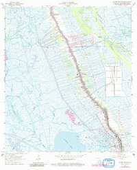
1964 Map of Golden Meadow
USGS Topo · Published 1980About this map
Bayou Lafourche serves as the central artery for this coastal Louisiana landscape, dictating the dense ribbon-style settlement pattern characteristic of the region. Residences and commercial structures are tightly packed along the banks in Galliano and Golden Meadow, bordered by narrow agricultural strips that reach toward the surrounding wetlands. This 1964 survey, updated with 1978 aerial data, documents a landscape where traditional bayou life meets heavy industrial development.
Find a feature on this map
38 named features on this map. Tap any name to fly to it.
Don’t see what you’re looking for? This feature index may not catch every label — zoom into the map to look around manually.
Map Details
Editions of this 1964 Golden Meadow Map
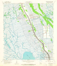
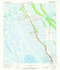
3 editions found
Other maps of this area

1892 · Barataria
USGS Topo · 1:62,500

1892 · Cut-Off
USGS Topo · 1:62,500

1892 · Creole
USGS Topo · 1:62,500

1894 · Lake Felicity
USGS Topo · 1:62,500

1935 · Viguerie Canal
USGS Topo · 1:31,680

1935 · Bay Courant
USGS Topo · 1:31,680

1935 · Golden Meadow
USGS Topo · 1:31,680

1935 · Mink Bayou
USGS Topo · 1:31,680

1939 · Cut-Off
USGS Topo · 1:62,500

1939 · Lake Felicity
USGS Topo · 1:62,500