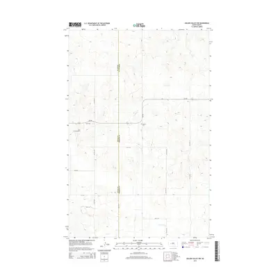
2014 Map of Golden Valley NW
USGS Topo · Published 2014About this map
Defiance Cem sits at a prominent junction in this rural landscape, marking the boundary where Dunn Co and Mercer Co meet. The terrain is defined by the winding paths of several waterways, including Goodman Cr in the north and south, and the westward-flowing Hans Cr. This section of the North Dakota plains demonstrates a strictly rectilinear grid of section roads like 76th Ave NW and 2nd St NW, which dictate the movement of local traffic between isolated farmsteads and fields. Notable modern infrastructure includes the Frei Private Airport and the primary regional artery, ND-1806. The map captures a moment of transition where traditional prairie land is interconnected by modern regional routes and localized aviation, while maintaining its identity through family-named landmarks and essential local cemeteries.
Find a feature on this map
22 named features on this map. Tap any name to fly to it.
Don’t see what you’re looking for? This feature index may not catch every label — zoom into the map to look around manually.
Map Details
Editions of this 2014 Golden Valley NW Map
This is the sole edition of this map. No revisions or reprints were ever made.
Other maps of this area

1953 · Watford City
USGS Topo · 1:250,000

1957 · Watford City
USGS Topo · 1:250,000

1967 · Watford City
USGS Topo · 1:250,000
1967 · Raub SE
USGS Topo · 1:24,000
1967 · Twin Buttes
USGS Topo · 1:24,000
1970 · Halliday NE
USGS Topo · 1:24,000
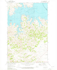
1970 · Hay Flat
USGS Topo · 1:24,000
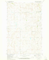
1970 · Golden Valley NE
USGS Topo · 1:24,000
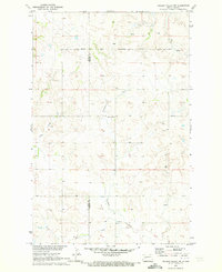
1970 · Golden Valley NW
USGS Topo · 1:24,000
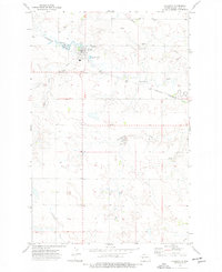
1973 · Halliday
USGS Topo · 1:24,000