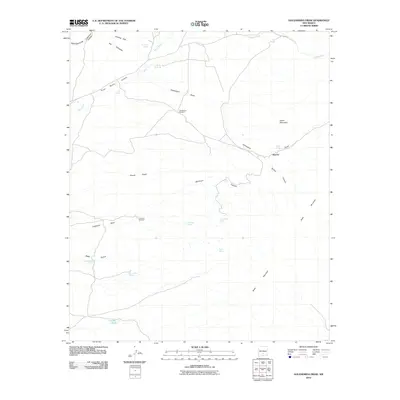
2010 Map of Golondrina Draw
USGS Topo · Published 2010About this map
Apache sits near the eastern edge of this arid Otero County landscape, where deep canyons and drainage draws define the terrain. The map documents a critical network of water sources essential for life and ranching in this part of New Mexico, including family-named landmarks like Armijo Spring, Valdez Spring, and Smith Spring. Human activity is further evidenced by isolated structures such as the Golondrina Windmill and Crawford Windmill, which stand as markers of land use in a region dominated by dramatic topography.
Find a feature on this map
27 named features on this map. Tap any name to fly to it.
Don’t see what you’re looking for? This feature index may not catch every label — zoom into the map to look around manually.
Map Details
Editions of this 2010 Golondrina Draw Map
This is the sole edition of this map. No revisions or reprints were ever made.
Other maps of this area

1916 · Tularosa
USGS Topo · 1:125,000

1947 · Three Rivers
USGS Topo · 1:62,500

1948 · Tularosa
USGS Topo · 1:62,500

1950 · Three Rivers
USGS Topo · 1:24,000

1950 · Oscura
USGS Topo · 1:24,000

1950 · Sierra Blanca Peak
USGS Topo · 1:62,500

1950 · Mescalero
USGS Topo · 1:62,500

1954 · Tularosa
USGS Topo · 1:250,000

1955 · Roswell
USGS Topo · 1:250,000

1958 · Roswell
USGS Topo · 1:250,000