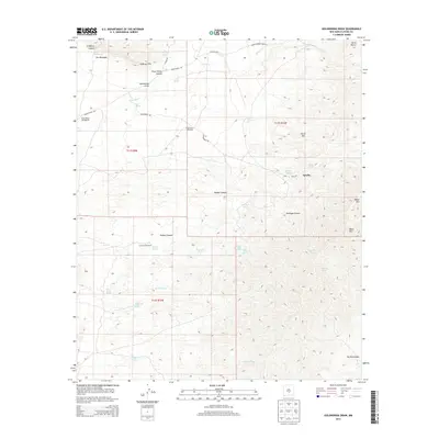
2013 Map of Golondrina Draw
USGS Topo · Published 2013About this map
Three Rivers Petroglyphs anchor the northwestern corner of this Otero County landscape, indicating a long history of human presence in this arid region. The terrain is defined by dramatic elevation changes, rising from the Golondrina Draw and Three Rivers westward toward the heights of Horse Mtn and the massive Sierra Blanca peak in the northeast. Water management is central to the land's utility, evidenced by scattered improvements like the Golondrina Windmill and Crawford Windmill, alongside numerous natural seeps such as Mustang Spring and Upper Salty Spring. The presence of Indian Service Route 23 and Three Rivers Rd suggests a sparse but vital network of access across the high desert. To the south, the deep cut of Barber Canyon and the Rocky Arroyo illustrate the complex drainage patterns that shape these ranchlands and ancestral sites.
Find a feature on this map
44 named features on this map. Tap any name to fly to it.
Don’t see what you’re looking for? This feature index may not catch every label — zoom into the map to look around manually.
Map Details
Editions of this 2013 Golondrina Draw Map
This is the sole edition of this map. No revisions or reprints were ever made.
Other maps of this area

1916 · Tularosa
USGS Topo · 1:125,000

1947 · Three Rivers
USGS Topo · 1:62,500

1948 · Tularosa
USGS Topo · 1:62,500

1950 · Three Rivers
USGS Topo · 1:24,000

1950 · Oscura
USGS Topo · 1:24,000

1950 · Sierra Blanca Peak
USGS Topo · 1:62,500

1950 · Mescalero
USGS Topo · 1:62,500

1954 · Tularosa
USGS Topo · 1:250,000

1955 · Roswell
USGS Topo · 1:250,000

1958 · Roswell
USGS Topo · 1:250,000