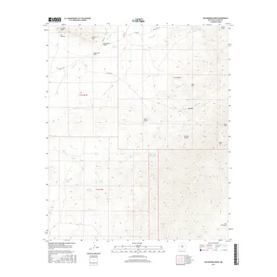
2017 Map of Golondrina Draw
USGS Topo · Published 2017About this map
Apache marks a point of human presence in this high-elevation landscape, where the Godfrey Hills and the dramatic slopes of Sierra Blanca define the topography. The map illustrates a complex network of seasonal water sources and drainages essential to life in this arid region, including Three Rivers, Rocky Arroyo, and Salinas Draw. These natural features, alongside numerous named springs such as Armijo Spring and Maverick Spring, indicate the historical importance of reliable water for ranching and transit. Significant geographic formations like The Palisades and Three Rivers Canyon show the erosive force of the climate on the terrain, while landmarks like Horse Mtn and Black Mtn provide prominent navigational waypoints within the Tularosa Basin's eastern reaches.
Find a feature on this map
42 named features on this map. Tap any name to fly to it.
Don’t see what you’re looking for? This feature index may not catch every label — zoom into the map to look around manually.
Map Details
Editions of this 2017 Golondrina Draw Map
This is the sole edition of this map. No revisions or reprints were ever made.
Other maps of this area

1916 · Tularosa
USGS Topo · 1:125,000

1947 · Three Rivers
USGS Topo · 1:62,500

1948 · Tularosa
USGS Topo · 1:62,500

1950 · Three Rivers
USGS Topo · 1:24,000

1950 · Oscura
USGS Topo · 1:24,000

1950 · Sierra Blanca Peak
USGS Topo · 1:62,500

1950 · Mescalero
USGS Topo · 1:62,500

1954 · Tularosa
USGS Topo · 1:250,000

1955 · Roswell
USGS Topo · 1:250,000

1958 · Roswell
USGS Topo · 1:250,000