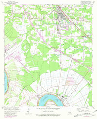
1961 Map of Gonzales
USGS Topo · Published 1981About this map
Mississippi River transport and the expansion of Gonzales define this portion of Ascension Parish during the mid-20th century. The landscape is a complex network of bayous and man-made waterways, including New River, Bayou Francois, and the Panama Canal, which drain the low-lying terrain. Industrial and agricultural activity is evident along the riverbanks near Point Houmas and the Belle Helene Plantation.
Find a feature on this map
48 named features on this map. Tap any name to fly to it.
Don’t see what you’re looking for? This feature index may not catch every label — zoom into the map to look around manually.
Map Details
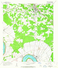
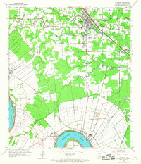
Editions of this 1961 Gonzales Map
3 editions found
Other maps of this area

1892 · Donaldsonville
USGS Topo · 1:62,500

1908 · Baton Rouge
USGS Topo · 1:62,500

1934 · Denham Springs
USGS Topo · 1:62,500

1935 · Gonzales
USGS Topo · 1:31,680

1936 · White Castle
USGS Topo · 1:62,500

1939 · Denham Springs
USGS Topo · 1:62,500

1939 · Baton Rouge
USGS Topo · 1:62,500

1939 · Donaldsonville
USGS Topo · 1:62,500

1946 · Convent
USGS Topo · 1:31,680

1947 · Donaldsonville
USGS Topo · 1:31,680