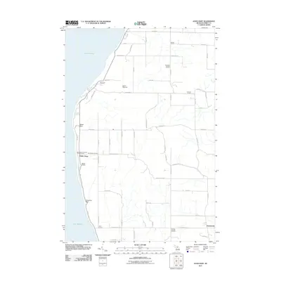
2011 Map of Good Hart
USGS Topo · Published 2011About this map
Good Hart sits prominently along the Lake Michigan shoreline, anchoring a landscape defined by the winding coastal path of Lake Shore Dr. The area's spiritual and social history is deeply rooted in sites like Saint Ignatius' Catholic Church and the nearby Middle Village, reflecting a long-standing settlement pattern on these lakeside bluffs. Moving inland, the terrain rises toward Island View Hill and transitions into a grid of rural crossroads such as Johnsons Corners and Beckons Corners. The high density of local burial grounds, including Readmond Township Cemetery and Friendship Township Cemetery, provides a rich resource for genealogical research. Distinctive geographical features like Devils Elbow and Horseshoe Bend mark the sharp curves in the coastal road, illustrating the challenges of navigating this varied shoreline elevation.
Find a feature on this map
64 named features on this map. Tap any name to fly to it.
Don’t see what you’re looking for? This feature index may not catch every label — zoom into the map to look around manually.
Map Details
Editions of this 2011 Good Hart Map
This is the sole edition of this map. No revisions or reprints were ever made.
Other maps of this area

1955 · Cheboygan
USGS Topo · 1:250,000

1958 · Cheboygan
USGS Topo · 1:250,000

1958 · Cross Village
USGS Topo · 1:62,500

1958 · Pellston
USGS Topo · 1:62,500

1958 · Bayshore
USGS Topo · 1:62,500

1958 · Petoskey
USGS Topo · 1:62,500

1975 · Petoskey NW
USGS Topo · 1:24,000

1982 · Petoskey
USGS Topo · 1:100,000
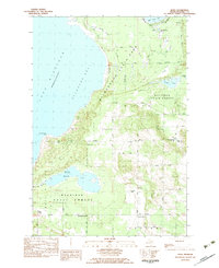
1982 · Bliss
USGS Topo · 1:25,000
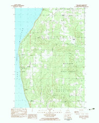
1982 · Good Hart
USGS Topo · 1:25,000
Featured Places
- Stutsmanville, MI
- Good Hart, MI
- Cross Village Township, MI
- Friendship Township, MI
- Readmond Township, MI