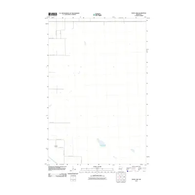
2010 Map of Good Lake
USGS Topo · Published 2010About this map
Good Lake sits at the heart of this Northern Minnesota landscape, which is defined by a sparse network of agricultural and county roads. The terrain is relatively flat, as evidenced by the grid-like pattern of roads such as County Hwy-100 and County Hwy-62. In the southwestern corner, the Red Lake River cuts across the land, providing a natural contrast to the surveyed section lines. For local history and genealogy, the Little Oak Cemetery near 105th St SE serves as a significant landmark, marking a point of community assembly in this rural area. This 2010 USGS survey reflects the enduring character of Beltrami County's open country and the small, scattered features that sustain its local identity.
Find a feature on this map
12 named features on this map. Tap any name to fly to it.
Don’t see what you’re looking for? This feature index may not catch every label — zoom into the map to look around manually.
Map Details
Editions of this 2010 Good Lake Map
This is the sole edition of this map. No revisions or reprints were ever made.
Other maps of this area

1918 · Jelle
USGS Topo · 1:62,500

1919 · Churnes
USGS Topo · 1:62,500

1919 · Winsor
USGS Topo · 1:62,500

1954 · Bemidji
USGS Topo · 1:250,000

1954 · Roseau
USGS Topo · 1:250,000

1957 · Roseau
USGS Topo · 1:250,000

1957 · Bemidji
USGS Topo · 1:250,000

1958 · Bemidji
USGS Topo · 1:250,000

1958 · Roseau
USGS Topo · 1:250,000

1972 · Erie
USGS Topo · 1:24,000