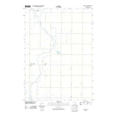
2010 Map of Goodell
USGS Topo · Published 2010About this map
The East Branch Iowa River meanders through this agricultural landscape in Hancock County, defining the corridor between the town of Goodell and the smaller settlement of Amsterdam. This 2010 survey shows a region dominated by a strict grid of section roads like Taylor Ave and Vail Ave, yet the river's winding path provides a stark natural contrast to the surveyed lines. Genealogists and local historians can locate the Amsterdam Cemetery situated just east of the river, a quiet landmark near the former site of its namesake village. To the south, the settlement of Palsville sits near the banks of Luicks Creek. Further north, recreation and modern infrastructure are represented by the Slippery Elm Golf Course and the Goodell Post Office, reflecting the ongoing civic life of these rural Iowa communities at the start of the twenty-first century.
Find a feature on this map
33 named features on this map. Tap any name to fly to it.
Don’t see what you’re looking for? This feature index may not catch every label — zoom into the map to look around manually.
Map Details
Editions of this 2010 Goodell Map
This is the sole edition of this map. No revisions or reprints were ever made.
Other maps of this area

1954 · Mason City
USGS Topo · 1:250,000

1954 · Waterloo
USGS Topo · 1:250,000

1955 · Waterloo
USGS Topo · 1:250,000

1957 · Mason City
USGS Topo · 1:250,000

1958 · Mason City
USGS Topo · 1:250,000

1972 · Cornelia
USGS Topo · 1:24,000

1972 · Alexander
USGS Topo · 1:24,000

1972 · Thornton
USGS Topo · 1:24,000

1972 · Olaf
USGS Topo · 1:24,000

1972 · Belmond
USGS Topo · 1:24,000