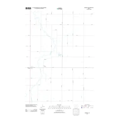
2013 Map of Goodell
USGS Topo · Published 2013About this map
The E Br Iowa River meanders through this agricultural landscape, forming the primary geographic spine of the region. The settlement of Goodell is situated along its western banks, where a traditional grid of streets including Willow St and numbered avenues meets the surrounding rural section lines. Further east, the small communities of Amsterdam and Palsville represent the scattered development patterns typical of Hancock County's farming districts. The terrain is largely defined by the precise North-South and East-West grid of county roads, such as Vail Ave and 110th St, which partition the fertile land.
Find a feature on this map
33 named features on this map. Tap any name to fly to it.
Don’t see what you’re looking for? This feature index may not catch every label — zoom into the map to look around manually.
Map Details
Editions of this 2013 Goodell Map
This is the sole edition of this map. No revisions or reprints were ever made.
Other maps of this area

1954 · Mason City
USGS Topo · 1:250,000

1954 · Waterloo
USGS Topo · 1:250,000

1955 · Waterloo
USGS Topo · 1:250,000

1957 · Mason City
USGS Topo · 1:250,000

1958 · Mason City
USGS Topo · 1:250,000

1972 · Cornelia
USGS Topo · 1:24,000

1972 · Alexander
USGS Topo · 1:24,000

1972 · Thornton
USGS Topo · 1:24,000

1972 · Olaf
USGS Topo · 1:24,000

1972 · Belmond
USGS Topo · 1:24,000