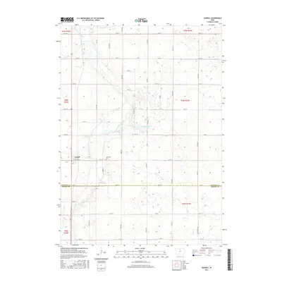
2015 Map of Goodell
USGS Topo · Published 2015About this map
Goodell stands as the primary settlement on this central Iowa landscape, positioned just north of the border between Hancock Co and Wright Co. The town's grid is anchored by Willow St, while the surrounding prairie is defined by a dense network of sectional roads including Union Ave and 110th St. To the east of the town site, the Amsterdam Cem provides a point of genealogical interest, preserving the name of a locality near the winding course of the East Branch Iowa River. This river corridor creates a distinct break in the geometric agricultural blocks, leading toward the waters of Eldred Sherwood Park Lake. In the southern portion of the quadrangle, Luicks Cr drains the land where the townships of T94N and T93N meet, illustrating the highly managed drainage patterns common to this fertile region.
Find a feature on this map
37 named features on this map. Tap any name to fly to it.
Don’t see what you’re looking for? This feature index may not catch every label — zoom into the map to look around manually.
Map Details
Editions of this 2015 Goodell Map
This is the sole edition of this map. No revisions or reprints were ever made.
Other maps of this area

1954 · Mason City
USGS Topo · 1:250,000

1954 · Waterloo
USGS Topo · 1:250,000

1955 · Waterloo
USGS Topo · 1:250,000

1957 · Mason City
USGS Topo · 1:250,000

1958 · Mason City
USGS Topo · 1:250,000

1972 · Cornelia
USGS Topo · 1:24,000

1972 · Alexander
USGS Topo · 1:24,000

1972 · Thornton
USGS Topo · 1:24,000

1972 · Olaf
USGS Topo · 1:24,000

1972 · Belmond
USGS Topo · 1:24,000