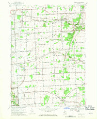
1968 Map of Goodells
USGS Topo · Published 1970About this map
Goodells and the surrounding townships of Kenockee and Wales are defined by a complex network of agricultural drainage and the winding path of the South Branch Pine River. This late 1960s landscape maintains its rural character through several family-named roads and institutional landmarks like the Maryglade Seminary and the County Medical Center. Transportation is anchored by the Grand Trunk Western railroad corridor, which skirts the Port Huron State Game Area in the northeast.
Find a feature on this map
52 named features on this map. Tap any name to fly to it.
Don’t see what you’re looking for? This feature index may not catch every label — zoom into the map to look around manually.
Map Details
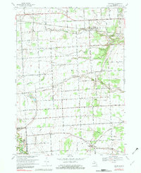
Editions of this 1968 Goodells Map
2 editions found
Other maps of this area

1914 · Armada
USGS Topo · 1:62,500

1928 · Armada
USGS Topo · 1:62,500

1928 · Hicky
USGS Topo · 1:62,500

1936 · Rattle Run
USGS Topo · 1:31,680

1939 · Adair
USGS Topo · 1:24,000

1939 · Smiths Creek
USGS Topo · 1:24,000

1939 · Goodells
USGS Topo · 1:24,000

1942 · Rattle Run
USGS Topo · 1:24,000

1944 · Memphis
USGS Topo · 1:24,000

1945 · Richmond
USGS Topo · 1:24,000