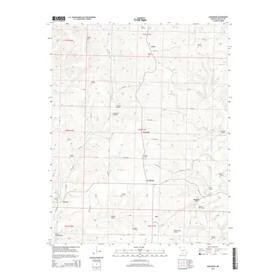
2015 Map of Goodhope
USGS Topo · Published 2015About this map
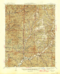
Arden and the surrounding Ozark plateau terrain are defined by a network of deep hollows and creek systems in this 2015 study. The landscape is dotted with family and community burial grounds, such as Stillings Cemetery and Lakey Cemetery, which offer valuable coordinates for genealogical research in Douglas County. These sites are often positioned on the higher ground above drainage basins like Little Beaver Cr and Punching Cr.
Find a feature on this map
80 named features on this map. Tap any name to fly to it.
Don’t see what you’re looking for? This feature index may not catch every label — zoom into the map to look around manually.
Map Details
Editions of this 2015 Goodhope Map
This is the sole edition of this map. No revisions or reprints were ever made.
Other maps of this area
1936 · Ava
USGS Topo · 1:48,000
1937 · Bradleyville
USGS Topo · 1:48,000
1939 · Fordland
USGS Topo · 1:62,500
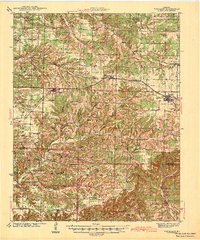
1942 · Fordland
USGS Topo · 1:62,500
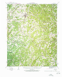
1942 · Ava
USGS Topo · 1:62,500
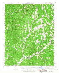
1943 · Bradleyville
USGS Topo · 1:62,500
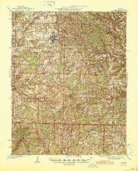
1945 · Ava
USGS Topo · 1:62,500

1945 · Harrison
USGS Topo · 1:250,000
1945 · Bradleyville
USGS Topo · 1:62,500

1949 · Harrison
USGS Topo · 1:250,000