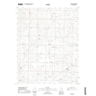
2017 Map of Goodhope
USGS Topo · Published 2017About this map
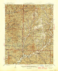
Goodhope serves as a central point in this Missouri landscape, where the ridge and valley systems of Douglas County dictate the placement of small communities and family burial grounds. The settlement of Arden sits to the north near Arden Cem, while Jackson Mill and its associated Jackson Mill Hollow are located to the southeast, reflecting a history of small-scale industry and milling along the area's many waterways. The terrain is defined by its deep hollows, including Boiling Spring Hollow and Peckerwood Hollow, which drain into larger creek systems like Little Beaver Cr and Beaver Cr. For those researching local lineages, the map identifies numerous family-named cemeteries such as Stillings Cem, Daily Cem, and McKnight Cem that are scattered across the townships, often situated on high ground like Keyger Mtn or tucked away in the lower reaches of the hollows.
Find a feature on this map
81 named features on this map. Tap any name to fly to it.
Don’t see what you’re looking for? This feature index may not catch every label — zoom into the map to look around manually.
Map Details
Editions of this 2017 Goodhope Map
This is the sole edition of this map. No revisions or reprints were ever made.
Other maps of this area
1936 · Ava
USGS Topo · 1:48,000
1937 · Bradleyville
USGS Topo · 1:48,000
1939 · Fordland
USGS Topo · 1:62,500
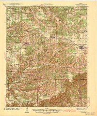
1942 · Fordland
USGS Topo · 1:62,500
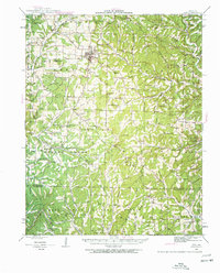
1942 · Ava
USGS Topo · 1:62,500
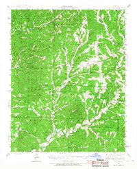
1943 · Bradleyville
USGS Topo · 1:62,500
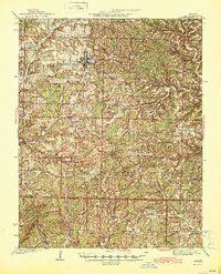
1945 · Ava
USGS Topo · 1:62,500

1945 · Harrison
USGS Topo · 1:250,000
1945 · Bradleyville
USGS Topo · 1:62,500

1949 · Harrison
USGS Topo · 1:250,000