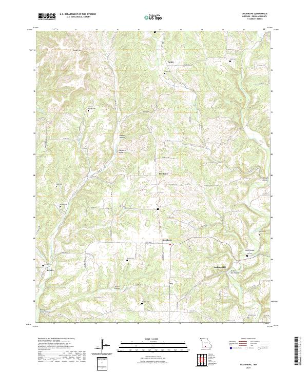
2021 Map of Goodhope
USGS Topo · Published 2021About this map
Arden and Red Bank anchor this Douglas County landscape, where the Ozark Plateau is deeply dissected by drainage systems like Beaver Cr and Little Beaver Cr. The area is defined by a dense network of family-named cemeteries and landmarks that speak to generations of rural settlement. From the Daily Cem in the northeast to McKnight Cem in the south, these burial sites are frequently located on the high ridges above hollows such as Eslick Hollow and Jackson Mill Hollow.
Find a feature on this map
77 named features on this map. Tap any name to fly to it.
Don’t see what you’re looking for? This feature index may not catch every label — zoom into the map to look around manually.
Map Details
Editions of this 2021 Goodhope Map
This is the sole edition of this map. No revisions or reprints were ever made.
Other maps of this area

1936 · Ava
USGS Topo · 1:48,000

1937 · Bradleyville
USGS Topo · 1:48,000

1939 · Fordland
USGS Topo · 1:62,500

1942 · Fordland
USGS Topo · 1:62,500

1942 · Ava
USGS Topo · 1:62,500

1943 · Bradleyville
USGS Topo · 1:62,500

1945 · Ava
USGS Topo · 1:62,500

1945 · Harrison
USGS Topo · 1:250,000

1945 · Bradleyville
USGS Topo · 1:62,500

1949 · Harrison
USGS Topo · 1:250,000