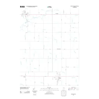
2013 Map of Goodland
USGS Topo · Published 2013About this map
The Iroquois River meanders across the northern reaches of this landscape, anchoring the settlements of Brook and Foresman. This agricultural corridor in Newton County is defined by an extensive network of water management features, including the Barten Ditch, O'Brien Ditch, and Gushwa Ditch, which underscore the region's long-standing reliance on drained farmland. To the south, Goodland serves as a primary hub, its street grid detailed alongside W Union St and N Newton St. The presence of Percy Junction and Perkins highlights smaller nodes of activity within the grid of county roads. Riverside recreation is noted at Riverside Lake, while the legacy of transportation is visible through the alignment of Railroad St in the town of Brook.
Find a feature on this map
82 named features on this map. Tap any name to fly to it.
Don’t see what you’re looking for? This feature index may not catch every label — zoom into the map to look around manually.
Map Details
Editions of this 2013 Goodland Map
This is the sole edition of this map. No revisions or reprints were ever made.
Other maps of this area

1953 · Danville
USGS Topo · 1:250,000

1955 · Danville
USGS Topo · 1:250,000

1956 · Danville
USGS Topo · 1:250,000

1961 · Kentland
USGS Topo · 1:24,000

1961 · Mount Ayr
USGS Topo · 1:24,000

1961 · Morocco
USGS Topo · 1:24,000

1962 · Mount Gilboa
USGS Topo · 1:24,000

1962 · Wadena
USGS Topo · 1:24,000

1962 · Goodland
USGS Topo · 1:24,000

1962 · Earl Park
USGS Topo · 1:24,000