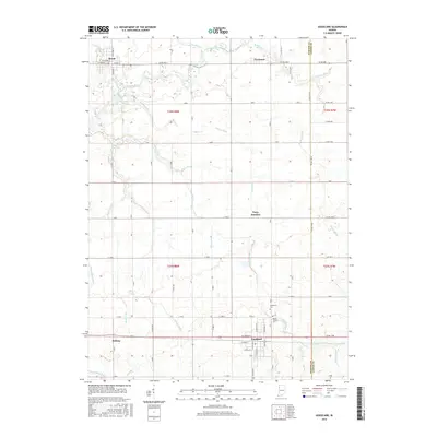
2016 Map of Goodland
USGS Topo · Published 2016About this map
Goodland anchors the southern portion of this northern Indiana landscape, where the town's grid meets a sprawling network of agricultural drainage. The interplay between the natural course of the Iroquois River and an extensive system of man-made waterways like Barten Ditch, Hunter Ditch, and O'Brien Ditch reveals the 21st-century reality of this fertile prairie. These ditches follow section lines and old topographic lows, reclaiming the land for farming while bypassing smaller settlements like Percy Junction and Foresman.
Find a feature on this map
53 named features on this map. Tap any name to fly to it.
Don’t see what you’re looking for? This feature index may not catch every label — zoom into the map to look around manually.
Map Details
Editions of this 2016 Goodland Map
This is the sole edition of this map. No revisions or reprints were ever made.
Other maps of this area

1953 · Danville
USGS Topo · 1:250,000

1955 · Danville
USGS Topo · 1:250,000

1956 · Danville
USGS Topo · 1:250,000

1961 · Kentland
USGS Topo · 1:24,000

1961 · Mount Ayr
USGS Topo · 1:24,000

1961 · Morocco
USGS Topo · 1:24,000

1962 · Mount Gilboa
USGS Topo · 1:24,000

1962 · Wadena
USGS Topo · 1:24,000

1962 · Goodland
USGS Topo · 1:24,000

1962 · Earl Park
USGS Topo · 1:24,000