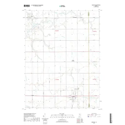
2019 Map of Goodland
USGS Topo · Published 2019About this map
The Iroquois River winds through the northern portion of this agricultural landscape, anchoring a complex system of drainage infrastructure essential to the region's productivity. In the southern half, the settlement of Goodland serves as a local hub, defined by its grid of streets including W Jasper St and S Newton St. Near the town's edge, Goodland Cem and Mount Calvary Cem provide significant points of interest for genealogists and local historians.
Find a feature on this map
52 named features on this map. Tap any name to fly to it.
Don’t see what you’re looking for? This feature index may not catch every label — zoom into the map to look around manually.
Map Details
Editions of this 2019 Goodland Map
This is the sole edition of this map. No revisions or reprints were ever made.
Other maps of this area

1953 · Danville
USGS Topo · 1:250,000

1955 · Danville
USGS Topo · 1:250,000

1956 · Danville
USGS Topo · 1:250,000

1961 · Kentland
USGS Topo · 1:24,000

1961 · Mount Ayr
USGS Topo · 1:24,000

1961 · Morocco
USGS Topo · 1:24,000

1962 · Mount Gilboa
USGS Topo · 1:24,000

1962 · Wadena
USGS Topo · 1:24,000

1962 · Goodland
USGS Topo · 1:24,000

1962 · Earl Park
USGS Topo · 1:24,000