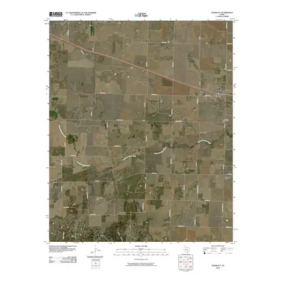
2010 Map of Goodlett
USGS Topo · Published 2010About this map
Goodlett serves as the primary hub in this corner of North Texas, situated along a prominent transportation corridor where Market St and the rail line traverse the landscape. This 2010 survey illustrates the dispersed settlement pattern characteristic of Hardeman County, featuring small communities like Wheatland, Lazare, and the curiously named Punkin Center. The area is defined by its drainage systems, most notably South Groesbeck Creek, which winds through the central portion of the quadrangle toward the Red River valley to the north.
Find a feature on this map
45 named features on this map. Tap any name to fly to it.
Don’t see what you’re looking for? This feature index may not catch every label — zoom into the map to look around manually.
Map Details
Editions of this 2010 Goodlett Map
This is the sole edition of this map. No revisions or reprints were ever made.
Other maps of this area

1927 · Quanah 3-a
USGS Topo · 1:48,000

1927 · Quanah 3-b
USGS Topo · 1:48,000

1932 · Vivian
USGS Topo · 1:62,500

1954 · Plainview
USGS Topo · 1:250,000

1955 · Lawton
USGS Topo · 1:250,000

1958 · Plainview
USGS Topo · 1:250,000

1960 · Goodlett
USGS Topo · 1:62,500

1960 · Teacup Mountain
USGS Topo · 1:62,500

1967 · Kirkland South
USGS Topo · 1:24,000

1967 · Kirkland North
USGS Topo · 1:24,000