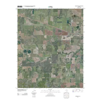
2012 Map of Goodlett
USGS Topo · Published 2012About this map
Goodlett and its surrounding rural landscape define this section of Hardeman County, where the topography is marked by the winding course of S Groesbeck Cr and the prominent Hepsidam Hill. Small, dispersed settlements like Wheatland, Lazare, and the descriptively named Punkin Center are connected by a grid of farm-to-market roads and local routes such as Ranch Road 680 and Ranch Road 268. For those researching local lineages, the Goodlett Cem remains a central landmark east of the main townsite. The terrain transitions toward Clear Cr in the south, reflecting a typical North Texas ranching and agricultural environment where water sources and modest elevations dictated the placement of homesteads and crossroads. The map preserves the specific road network and community footprints of the early twenty-first century before further shifts in rural population and land use.
Find a feature on this map
47 named features on this map. Tap any name to fly to it.
Don’t see what you’re looking for? This feature index may not catch every label — zoom into the map to look around manually.
Map Details
Editions of this 2012 Goodlett Map
This is the sole edition of this map. No revisions or reprints were ever made.
Other maps of this area
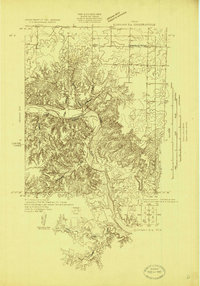
1927 · Quanah 3-a
USGS Topo · 1:48,000
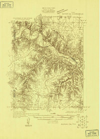
1927 · Quanah 3-b
USGS Topo · 1:48,000
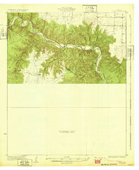
1932 · Vivian
USGS Topo · 1:62,500

1954 · Plainview
USGS Topo · 1:250,000

1955 · Lawton
USGS Topo · 1:250,000

1958 · Plainview
USGS Topo · 1:250,000
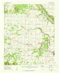
1960 · Goodlett
USGS Topo · 1:62,500
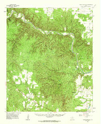
1960 · Teacup Mountain
USGS Topo · 1:62,500
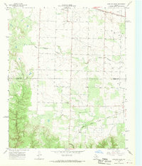
1967 · Kirkland South
USGS Topo · 1:24,000
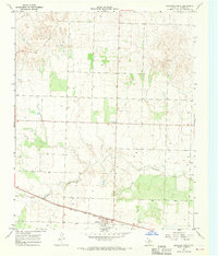
1967 · Kirkland North
USGS Topo · 1:24,000