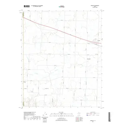
2019 Map of Goodlett
USGS Topo · Published 2019About this map
Goodlett stands as a primary settlement along the northern plains of Hardeman County, positioned near the Goodlett Cem and a network of rural roads that define the local agricultural landscape. The terrain is shaped by the winding course of S Groesbeck Cr and the distinct elevation of Hepsidam Hill, which rises above the surrounding draws. Smaller communities like Wheatland and Lazare are connected by a grid of named routes including FM 268, FM 680, and FM 2363. This 2019 survey documents the enduring spatial arrangement of cattle-country infrastructure, where family-named roads like Nippert Rd and Poole Rd link the scattered farmsteads and ranchlands across the Texas Panhandle. The map illustrates how local geography, from Spring Canyon to the county boundaries with Childress and Cottle, continues to dictate the layout of this West Texas region.
Find a feature on this map
46 named features on this map. Tap any name to fly to it.
Don’t see what you’re looking for? This feature index may not catch every label — zoom into the map to look around manually.
Map Details
Editions of this 2019 Goodlett Map
This is the sole edition of this map. No revisions or reprints were ever made.
Other maps of this area
1927 · Quanah 3-a
USGS Topo · 1:48,000
1927 · Quanah 3-b
USGS Topo · 1:48,000
1932 · Vivian
USGS Topo · 1:62,500

1954 · Plainview
USGS Topo · 1:250,000

1955 · Lawton
USGS Topo · 1:250,000

1958 · Plainview
USGS Topo · 1:250,000
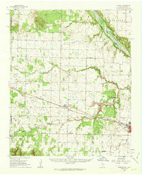
1960 · Goodlett
USGS Topo · 1:62,500
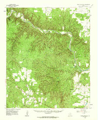
1960 · Teacup Mountain
USGS Topo · 1:62,500
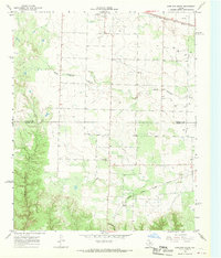
1967 · Kirkland South
USGS Topo · 1:24,000
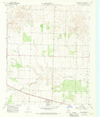
1967 · Kirkland North
USGS Topo · 1:24,000