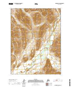
2020 Map of Goodnews Bay D-5 SW
USGS Topo · Published 2020About this map
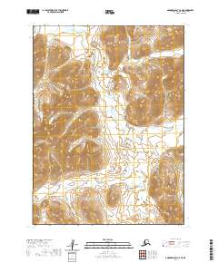
The Kanektok River dominates the eastern drainage of this Bethel Census Area landscape, winding through a complex system of glacial valleys and ridges. To the west, the Olunguivlute River flows southward, defining the boundary of a significant topographic divide. This 2020 edition from the U.S. Geological Survey illustrates a wilderness defined by its hydrology, where tributary systems like Sun Cr and Sam Cr carve into the high ground. The map captures the intricate drainage patterns of the Klak Creek and Nakulinguk Cr as they feed into the larger river systems. With no roads or permanent settlements recorded on this sheet, the focus remains entirely on the natural landforms and the precise Public Land Survey System township and range lines, such as t4s r67w and t3s r66w, which impose a geometric order on the otherwise winding river corridors.
Find a feature on this map
13 named features on this map. Tap any name to fly to it.
Don’t see what you’re looking for? This feature index may not catch every label — zoom into the map to look around manually.
Map Details
Editions of this 2020 Goodnews Bay D-5 SW Map
This is the sole edition of this map. No revisions or reprints were ever made.
Other maps of this area

1951 · Goodnews
USGS Topo · 1:250,000

1954 · Goodnews D-6
USGS Topo · 1:63,360

1954 · Goodnews D-5
USGS Topo · 1:63,360

1954 · Goodnews C-6
USGS Topo · 1:63,360

1979 · Goodnews Bay C-5
USGS Topo · 1:63,360

1979 · Goodnews Bay
USGS Topo · 1:250,000
2020 · Goodnews Bay D-6 NE
USGS Topo · 1:25,000
2020 · Goodnews Bay D-5 NW
USGS Topo · 1:25,000
2020 · Goodnews Bay C-5 NW
USGS Topo · 1:25,000
2020 · Goodnews Bay C-5 NE
USGS Topo · 1:25,000