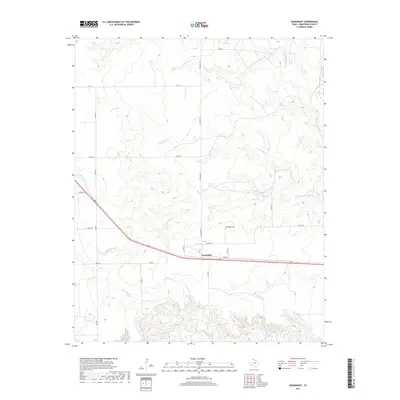
2019 Map of Goodnight
USGS Topo · Published 2019About this map
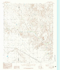
Goodnight sits at a strategic point in Armstrong County, where the southern plains begin their descent into the dissected drainage of the Salt Fork Red River. This 2019 survey captures the community’s layout along a primary transportation corridor, with the Goodnight Cem located just north of the main settlement. The landscape is defined by a dense network of intermittent stream channels, including Patching Cr and Cottonwood Cr, which have carved deep draws into the high plains. The drainage patterns of McCullum Cr and W Fork Deer Cr further south illustrate the erosional forces at work on the edge of the Llano Estacado. A grid of rural routes like Hotel Rd and Juliet Rd provides access to the ranch lands that dominate the territory, showing how modern infrastructure follows the natural contours of this Texas Panhandle terrain.
Find a feature on this map
22 named features on this map. Tap any name to fly to it.
Don’t see what you’re looking for? This feature index may not catch every label — zoom into the map to look around manually.
Map Details
Editions of this 2019 Goodnight Map
This is the sole edition of this map. No revisions or reprints were ever made.
Other maps of this area
1954 · Amarillo
USGS Topo · 1:250,000

1954 · Plainview
USGS Topo · 1:250,000
1958 · Amarillo
USGS Topo · 1:250,000

1958 · Plainview
USGS Topo · 1:250,000
1960 · Claude
USGS Topo · 1:62,500
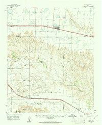
1960 · Groom
USGS Topo · 1:62,500
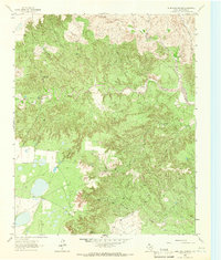
1963 · Blue Hole Springs
USGS Topo · 1:24,000
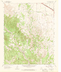
1963 · Buffalo Arroyo
USGS Topo · 1:24,000
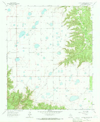
1963 · Luttrell Springs NE
USGS Topo · 1:24,000
1983 · Ashtola
USGS Topo · 1:24,000