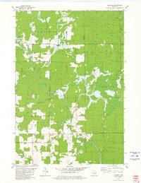
1980 Map of Goodrich
USGS Topo · Published 1980About this map
The Big Rib River carves a central path through this Northwoods landscape, serving as a geographic anchor for the rural communities of Goodrich and Interwald. By the late 1970s, the region's transition from a logging-driven economy to a mix of agriculture and recreation is evident in the presence of Green Grove 4-H Park and the preservation of an Old Railroad Grade that once connected these timberlands to larger markets.
Find a feature on this map
26 named features on this map. Tap any name to fly to it.
Don’t see what you’re looking for? This feature index may not catch every label — zoom into the map to look around manually.
Map Details
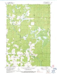
Editions of this 1980 Goodrich Map
2 editions found
Other maps of this area

1902 · Marathon
USGS Topo · 1:125,000

1945 · Rib Lake
USGS Topo · 1:48,000

1947 · Rib Lake
USGS Topo · 1:48,000

1949 · Rib Lake
USGS Topo · 1:48,000

1950 · Spirit Falls
USGS Topo · 1:48,000

1951 · Athens
USGS Topo · 1:48,000

1951 · Hamburg
USGS Topo · 1:48,000

1952 · Spirit Falls
USGS Topo · 1:48,000

1953 · Rice Lake
USGS Topo · 1:250,000

1954 · Iron Mountain
USGS Topo · 1:250,000