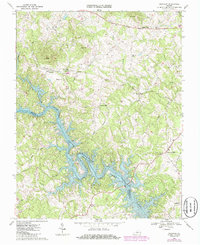
1967 Map of Goodview
USGS Topo · Published 1986About this map
The rising waters of Smith Mountain Lake define the southern half of this mid-century landscape, where the Roanoke River channel winds along the boundary between Bedford and Franklin Counties. This period reflects the transformative impact of the reservoir on the regional topography, submerging old bottomlands while creating a new shoreline around Smith Mountain. North of the water, the Norfolk and Western railroad cuts through the terrain near Goodview, passing through a tunnel and near local landmarks like the Green Spring Sch. The map preserves the locations of numerous rural institutions and family sites, from Robertson Cem to country crossroads like Meads Store and Hendricks Store. Small community centers such as Diamond Hill and several churches, including Emmaus Ch and Western Light Ch, illustrate the social geography of this Piedmont transition zone before modern residential expansion.
Find a feature on this map
37 named features on this map. Tap any name to fly to it.
Don’t see what you’re looking for? This feature index may not catch every label — zoom into the map to look around manually.
Map Details
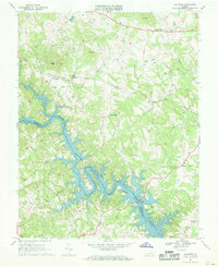
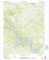
Editions of this 1967 Goodview Map
Other maps of this area

1890 · Roanoke
USGS Topo · 1:125,000

1891 · Roanoke
USGS Topo · 1:125,000

1929 · Roanoke
USGS Topo · 1:48,000

1933 · Roanoke
USGS Topo · 1:62,500

1947 · Roanoke
USGS Topo · 1:250,000

1950 · Peaks of Otter
USGS Topo · 1:62,500

1951 · Boones Mill
USGS Topo · 1:62,500

1951 · Moneta
USGS Topo · 1:62,500

1959 · Roanoke
USGS Topo · 1:250,000

1963 · Roanoke
USGS Topo · 1:250,000