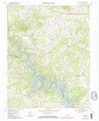
1967 Map of Goodview
USGS Topo · Published 1986About this map
Smith Mountain Lake dominates the southern half of this landscape, its winding fingers filling the valleys of the Roanoke River and its numerous tributaries. Surveyed in the late 1960s with 1980s updates, the map shows the complex shoreline where the rising waters met the foothills of Kasey Mtn and Board Mtn. Settlement is concentrated at traditional rural hubs such as Goodview, Hendricks Store, and Meads Store, reflecting a transition from purely agricultural valley life to a lakeside geography.
Find a feature on this map
32 named features on this map. Tap any name to fly to it.
Don’t see what you’re looking for? This feature index may not catch every label — zoom into the map to look around manually.
Map Details
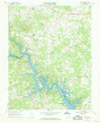
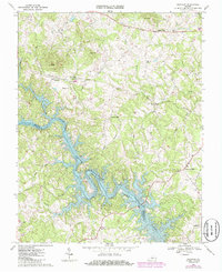
Editions of this 1967 Goodview Map
Other maps of this area

1890 · Roanoke
USGS Topo · 1:125,000

1891 · Roanoke
USGS Topo · 1:125,000

1929 · Roanoke
USGS Topo · 1:48,000

1933 · Roanoke
USGS Topo · 1:62,500

1947 · Roanoke
USGS Topo · 1:250,000

1950 · Peaks of Otter
USGS Topo · 1:62,500

1951 · Boones Mill
USGS Topo · 1:62,500

1951 · Moneta
USGS Topo · 1:62,500

1959 · Roanoke
USGS Topo · 1:250,000

1963 · Roanoke
USGS Topo · 1:250,000