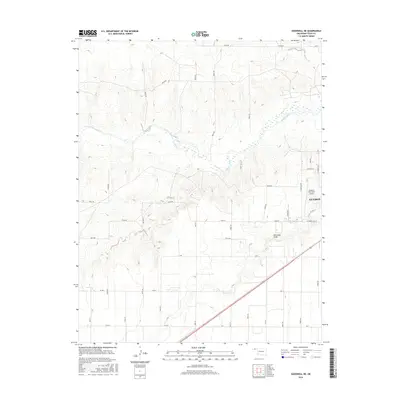
2016 Map of Goodwell NE
USGS Topo · Published 2016About this map
The high plains of the Oklahoma Panhandle are defined here by the winding course of the Beaver River as it cuts through the landscape northwest of Guymon. This 2016 survey captures the rural-urban interface where the city's residential streets, such as W Indian Hills St and E Weetern, give way to the vast agricultural sections and gravel section-line roads typical of Texas County. The terrain is marked by significant drainage features including the ephemeral Dry Sand Draw and Little Golf Creek, which provide topographical relief against the surrounding flatlands. Infrastructure is concentrated on the eastern edge of the map, centered around the Guymon Municipal Airport and Co Hwy 31, illustrating the regional importance of aviation and highway transport in this remote corner of the state.
Find a feature on this map
42 named features on this map. Tap any name to fly to it.
Don’t see what you’re looking for? This feature index may not catch every label — zoom into the map to look around manually.
Map Details
Editions of this 2016 Goodwell NE Map
This is the sole edition of this map. No revisions or reprints were ever made.
Other maps of this area

1954 · Perryton
USGS Topo · 1:250,000

1958 · Perryton
USGS Topo · 1:250,000

1967 · Straight SW
USGS Topo · 1:24,000

1968 · Guymon
USGS Topo · 1:24,000

1968 · Guymon SW
USGS Topo · 1:24,000

1973 · Goodwell SE
USGS Topo · 1:24,000

1973 · Goodwell NW
USGS Topo · 1:24,000

1973 · Hough SW
USGS Topo · 1:24,000

1973 · Goodwell
USGS Topo · 1:24,000

1973 · Goodwell NE
USGS Topo · 1:24,000