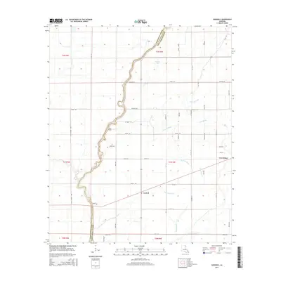
2015 Map of Goodwill
USGS Topo · Published 2015About this map
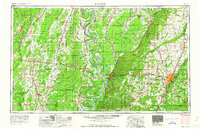
Goodwill sits as the central settlement in this agricultural landscape of West Carroll Parish, where the winding boundary between it and Morehouse Parish follows a distinct hydrological course. The terrain is defined by a complex network of slow-moving water, with the significant courses of Fivemile Slough, Threemile Slough, and Rising Slough draining the low-lying plains. To the north, Blackman Lake provides a natural break in the grid of rural roads and farm boundaries. The transportation network, including Little Missouri Loop and Wardline Rd, reflects a history of partitioned land use and local connectivity. In the east, the small community of Twin Bridges marks a crossing point over Rising Slough, illustrating how the early development of this region was dictated by the crossing of these persistent bayous and wetlands like Cypress Bayou.
Find a feature on this map
49 named features on this map. Tap any name to fly to it.
Don’t see what you’re looking for? This feature index may not catch every label — zoom into the map to look around manually.
Map Details
Editions of this 2015 Goodwill Map
This is the sole edition of this map. No revisions or reprints were ever made.
Other maps of this area
1935 · Hurricane
USGS Topo · 1:62,500
1935 · Oak Grove
USGS Topo · 1:62,500
1935 · Bonita
USGS Topo · 1:62,500

1955 · Jackson
USGS Topo · 1:250,000
1958 · Oak Grove
USGS Topo · 1:62,500
1958 · Hurricane
USGS Topo · 1:62,500
1958 · Bonita
USGS Topo · 1:62,500
1959 · Mitchiner
USGS Topo · 1:62,500

1961 · Jackson
USGS Topo · 1:250,000
1962 · Jackson
USGS Topo · 1:250,000