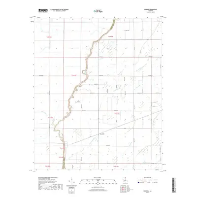
2018 Map of Goodwill
USGS Topo · Published 2018About this map
The Boeuf River winds through the borderlands between Morehouse and West Carroll Parishes, defining the western edge of this agricultural landscape. The small community of Goodwill serves as a central point in an area characterized by a complex network of waterways, including Fivemile Slough, Rising Slough, and Threemile Slough. These drainage patterns reflect the low-lying nature of the Mississippi Alluvial Plain, where natural sloughs and bayous like Cypress Bayou have historically dictated both field boundaries and transportation routes.
Find a feature on this map
54 named features on this map. Tap any name to fly to it.
Don’t see what you’re looking for? This feature index may not catch every label — zoom into the map to look around manually.
Map Details
Editions of this 2018 Goodwill Map
This is the sole edition of this map. No revisions or reprints were ever made.
Other maps of this area
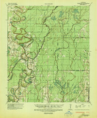
1935 · Hurricane
USGS Topo · 1:62,500
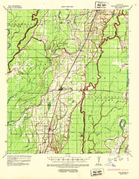
1935 · Oak Grove
USGS Topo · 1:62,500
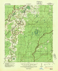
1935 · Bonita
USGS Topo · 1:62,500

1955 · Jackson
USGS Topo · 1:250,000
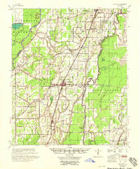
1958 · Oak Grove
USGS Topo · 1:62,500
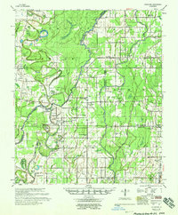
1958 · Hurricane
USGS Topo · 1:62,500
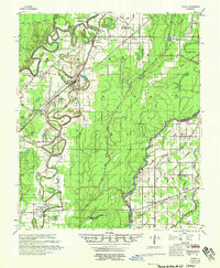
1958 · Bonita
USGS Topo · 1:62,500
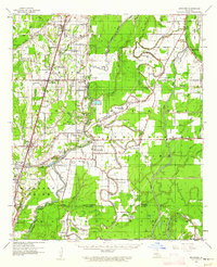
1959 · Mitchiner
USGS Topo · 1:62,500

1961 · Jackson
USGS Topo · 1:250,000
1962 · Jackson
USGS Topo · 1:250,000