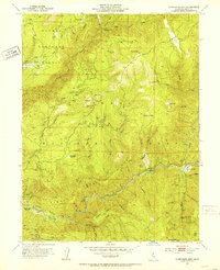
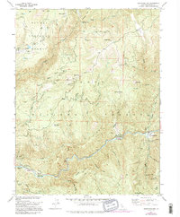
1951 Map of Goodyears Bar
USGS Topo · Published 1953About this map
Gold mining operations and remote outposts define this 1951 snapshot of the Sierra County mountains, where the Yuba River carves a deep path through the Tahoe National Forest. The settlement of Goodyears Bar sits along the river's edge, serving as a focal point in a landscape marked by the remains of the California Gold Rush. Evidence of hydraulic and hard-rock mining is pervasive, from the Eureka Diggings and Placer Diggings to specific operations like the Brush Creek Mine and New Kirk Mine.
Find a feature on this map
49 named features on this map. Tap any name to fly to it.
Don’t see what you’re looking for? This feature index may not catch every label — zoom into the map to look around manually.
Map Details
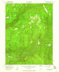
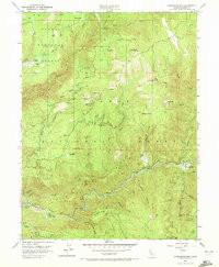
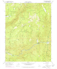
Editions of this 1951 Goodyears Bar Map
5 editions found
Other maps of this area

1888 · Smartsville
USGS Topo · 1:125,000

1888 · Bidwell Bar
USGS Topo · 1:125,000

1891 · Bidwell Bar
USGS Topo · 1:125,000

1891 · Downieville
USGS Topo · 1:125,000

1891 · Colfax
USGS Topo · 1:125,000

1891 · Smartsville
USGS Topo · 1:125,000

1892 · Smartsville
USGS Topo · 1:125,000

1892 · Colfax
USGS Topo · 1:125,000

1893 · Bidwell Bar
USGS Topo · 1:125,000

1893 · Downieville
USGS Topo · 1:125,000