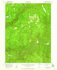
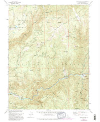
1951 Map of Goodyears Bar
USGS Topo · Published 1961About this map
The North Fork Yuba River cuts a deep course through this Sierra County landscape, marking a terrain defined by the legacy of the California Gold Rush. Evidence of hydraulic and hard-rock mining is visible everywhere, from the Eureka Diggings and Scales Mine in the north to the Brush Creek Mine near the river. The small settlement of Goodyears Bar serves as the primary outpost in a region largely subsumed by the Tahoe National Forest and Plumas National Forest. Local history is preserved at sites like the Eureka Cem and the Old Mtn House (Site), while the presence of the Halls Ranch Guard Sta reflects mid-century forest management. This 1951 field check records a transitional era when early mining infrastructure, such as the Head Dam (Site), was already being reclaimed by the forest.
Find a feature on this map
55 named features on this map. Tap any name to fly to it.
Don’t see what you’re looking for? This feature index may not catch every label — zoom into the map to look around manually.
Map Details
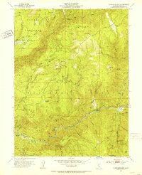
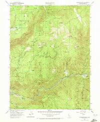
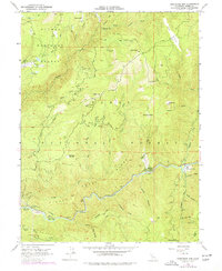
Editions of this 1951 Goodyears Bar Map
5 editions found
Other maps of this area

1888 · Smartsville
USGS Topo · 1:125,000

1888 · Bidwell Bar
USGS Topo · 1:125,000

1891 · Bidwell Bar
USGS Topo · 1:125,000

1891 · Downieville
USGS Topo · 1:125,000

1891 · Colfax
USGS Topo · 1:125,000

1891 · Smartsville
USGS Topo · 1:125,000

1892 · Smartsville
USGS Topo · 1:125,000

1892 · Colfax
USGS Topo · 1:125,000

1893 · Bidwell Bar
USGS Topo · 1:125,000

1893 · Downieville
USGS Topo · 1:125,000