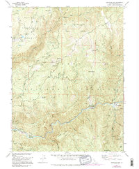
1951 Map of Goodyears Bar
USGS Topo · Published 1995About this map
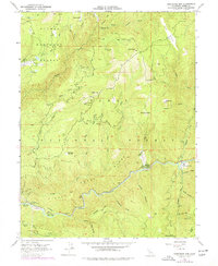
Goodyears Bar sits at the confluence of Goodyears Creek and the Yuba River, serving as a central hub for the mining and ranching activities that shaped this Sierra County landscape. By the mid-twentieth century, the region's gold-mining heritage was preserved through numerous recorded sites, including the Magnolia Mine, Bunker Hill Mine, and the active Brush Creek Mine. The terrain is characterized by dramatic ridges like Tahoe Ridge and prominent peaks such as Bald Mtn and Sugarloaf. Evidence of earlier settlement patterns is visible at the Old Mtn House and the remote Marvin Ranch, while the Halls Ranch Guard Station and several campgrounds like Ramshorn Camp Ground indicate the area's transition toward forest management and recreation within the Plumas National Forest.
Find a feature on this map
55 named features on this map. Tap any name to fly to it.
Don’t see what you’re looking for? This feature index may not catch every label — zoom into the map to look around manually.
Map Details
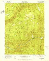
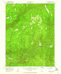
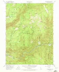
Editions of this 1951 Goodyears Bar Map
5 editions found
Other maps of this area

1888 · Smartsville
USGS Topo · 1:125,000

1888 · Bidwell Bar
USGS Topo · 1:125,000

1891 · Bidwell Bar
USGS Topo · 1:125,000

1891 · Downieville
USGS Topo · 1:125,000

1891 · Colfax
USGS Topo · 1:125,000

1891 · Smartsville
USGS Topo · 1:125,000

1892 · Smartsville
USGS Topo · 1:125,000

1892 · Colfax
USGS Topo · 1:125,000

1893 · Bidwell Bar
USGS Topo · 1:125,000

1893 · Downieville
USGS Topo · 1:125,000