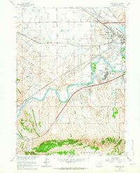
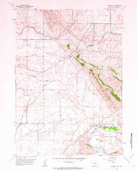
1961 Map of Goose Egg
USGS Topo · Published 1965About this map
The North Platte River winds through the heart of this landscape, carving a path between the northern edge of Casper Mountain and the prominent Emigrant Gap Ridge. This 1961 survey captures a moment of mid-century growth and industrial activity on the outskirts of Casper, where the Oil Tank Farm and numerous pipelines sit alongside residential developments like Mountain View. The map preserves the intersection of frontier history and modern utility, showing the path of the Emigrant Trail crossing the same terrain as the Chicago and North Western and Chicago Burlington and Quincy railroads.
Find a feature on this map
28 named features on this map. Tap any name to fly to it.
Don’t see what you’re looking for? This feature index may not catch every label — zoom into the map to look around manually.
Map Details
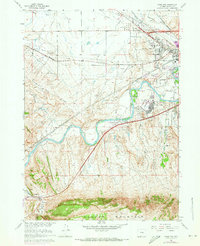
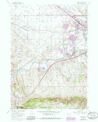
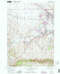
Editions of this 1961 Goose Egg Map
4 editions found
Other maps of this area

1950 · Emigrant Gap
USGS Topo · 1:24,000

1950 · Goose Egg
USGS Topo · 1:24,000

1950 · Emigrant Gap NE
USGS Topo · 1:24,000

1951 · The Reefs
USGS Topo · 1:24,000

1951 · Casper
USGS Topo · 1:24,000

1951 · Bessemer Mountain
USGS Topo · 1:24,000

1952 · Bishop
USGS Topo · 1:24,000

1955 · Casper
USGS Topo · 1:250,000

1958 · Casper
USGS Topo · 1:250,000
1960 · Emigrant Gap
USGS Topo · 1:24,000