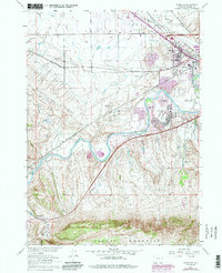
1961 Map of Goose Egg
USGS Topo · Published 1985About this map
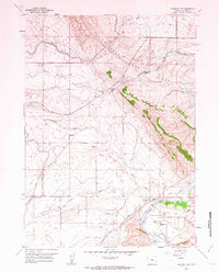
The North Platte River winds through this central Wyoming landscape, serving as a focal point for settlement and infrastructure during the early 1960s. The map illustrates the growth of communities like Mills and Mountain View in the northeast, alongside the suburban development at Paradise Valley. Notable industrial and transportation corridors define the northern half of the sheet, where the Chicago and North Western and Burlington Northern railroads parallel the Oil Tank Farm and various gravel operations.
Find a feature on this map
24 named features on this map. Tap any name to fly to it.
Don’t see what you’re looking for? This feature index may not catch every label — zoom into the map to look around manually.
Map Details
Editions of this 1961 Goose Egg Map
4 editions found
Other maps of this area

1950 · Emigrant Gap
USGS Topo · 1:24,000

1950 · Goose Egg
USGS Topo · 1:24,000

1950 · Emigrant Gap NE
USGS Topo · 1:24,000

1951 · The Reefs
USGS Topo · 1:24,000

1951 · Casper
USGS Topo · 1:24,000

1951 · Bessemer Mountain
USGS Topo · 1:24,000

1952 · Bishop
USGS Topo · 1:24,000

1955 · Casper
USGS Topo · 1:250,000

1958 · Casper
USGS Topo · 1:250,000
1960 · Emigrant Gap
USGS Topo · 1:24,000