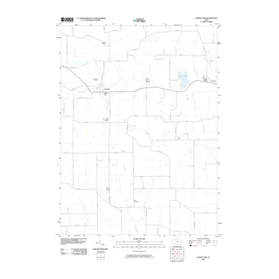
2010 Map of Goose Lake
USGS Topo · Published 2010About this map
Charlotte and the nearby village of Goose Lake anchor this 2010 survey of eastern Iowa's agricultural heartland. The landscape is defined by the winding paths of Deep Creek and Honey Creek, which cut through a dense grid of township roads. For genealogists and local historians, this map is particularly dense with burial sites, including the Clinton County Farm Cemetery, Saint Patricks Cemetery, and McClure Cemetery. These sites, along with the Glahn Cemetery and Gohlmann Cemetery, provide a clear record of the area's pioneer families and early religious communities. The small settlement of Villanova sits at the intersection of 175th St and 330th Ave, while the Charlotte Post Office and Goose Lake Post Office mark the ongoing civic centers for these rural townships. The drainage patterns of Willow Creek and Brophy Creek illustrate the natural topography that shaped early farmstead placement across the quadrangle.
Find a feature on this map
50 named features on this map. Tap any name to fly to it.
Don’t see what you’re looking for? This feature index may not catch every label — zoom into the map to look around manually.
Map Details
Editions of this 2010 Goose Lake Map
This is the sole edition of this map. No revisions or reprints were ever made.
Other maps of this area

1891 · DeWitt
USGS Topo · 1:62,500

1891 · Maquoketa
USGS Topo · 1:62,500

1892 · Goose Lake
USGS Topo · 1:62,500

1894 · Goose Lake
USGS Topo · 1:62,500

1899 · Clinton
USGS Topo · 1:125,000

1901 · Peosta
USGS Topo · 1:125,000

1901 · Rock Island
USGS Topo · 1:125,000

1910 · Rock Island
USGS Topo · 1:125,000

1935 · Miles
USGS Topo · 1:62,500

1941 · Miles
USGS Topo · 1:62,500