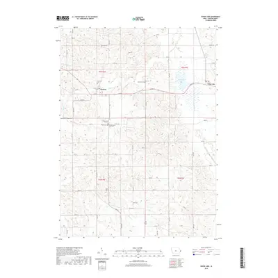
2018 Map of Goose Lake
USGS Topo · Published 2018About this map
Charlotte and the surrounding agricultural lands of Clinton County are defined by a network of creeks and small family burial grounds in this 2018 survey. The landscape is drained by Deep Cr, Cherry Cr, and Honey Cr, which weave through the townships of t83n r4e and t83n r5e. The area is notably dense with small cemeteries, providing a detailed record for genealogists. Beyond the larger Assumption Cem and Saint Patricks Cem, the map identifies several smaller sites like Gohlmann Cem, McClure Cem, and the Clinton County Farm Cem. The eponymous Goose Lake settlement sits on the eastern edge of the quadrangle, adjacent to its namesake water body. This modern topographic study reveals how 19th-century land divisions and family settlements continue to shape the rural Iowa countryside, with many roads following the original section lines established over a century ago.
Find a feature on this map
59 named features on this map. Tap any name to fly to it.
Don’t see what you’re looking for? This feature index may not catch every label — zoom into the map to look around manually.
Map Details
Editions of this 2018 Goose Lake Map
This is the sole edition of this map. No revisions or reprints were ever made.
Other maps of this area

1891 · DeWitt
USGS Topo · 1:62,500

1891 · Maquoketa
USGS Topo · 1:62,500

1892 · Goose Lake
USGS Topo · 1:62,500

1894 · Goose Lake
USGS Topo · 1:62,500

1899 · Clinton
USGS Topo · 1:125,000

1901 · Peosta
USGS Topo · 1:125,000

1901 · Rock Island
USGS Topo · 1:125,000

1910 · Rock Island
USGS Topo · 1:125,000

1935 · Miles
USGS Topo · 1:62,500

1941 · Miles
USGS Topo · 1:62,500