Loading...
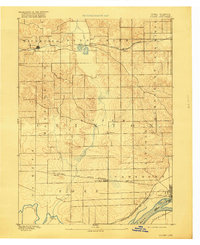
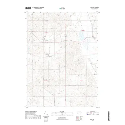
Loading map...1980 Map of Goose Lake
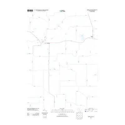
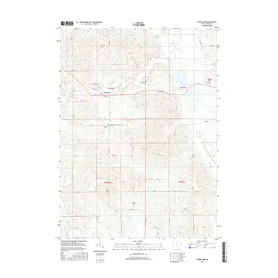
USGS Topo · Published 1981About this map
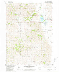
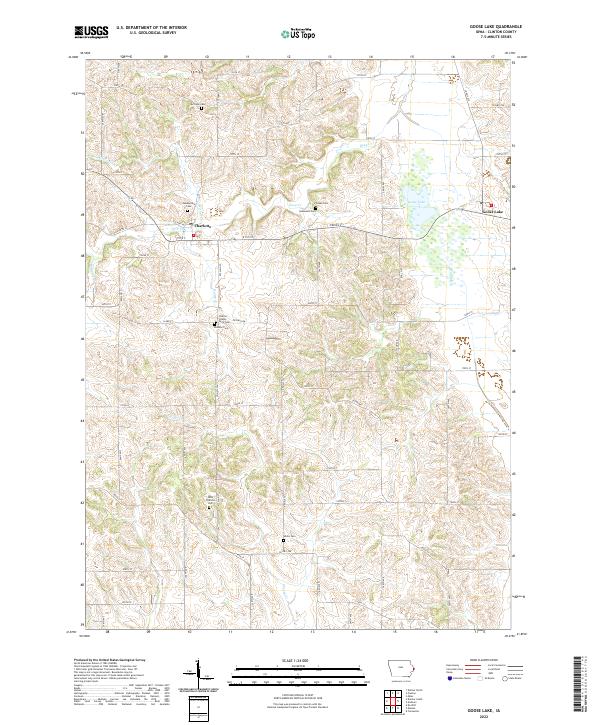
The agricultural landscape of Clinton County is defined by its drainages and small rural centers in this late twentieth-century study. The town of Charlotte sits at the confluence of several branches, while to the east, the village of Goose Lake borders its namesake water body. This area is home to the Goose Lake State Wildlife Area, a significant conservation tract that preserves the marshy terrain once common in the region.
Find a feature on this map
25 named features on this map. Tap any name to fly to it.
Don’t see what you’re looking for? This feature index may not catch every label — zoom into the map to look around manually.
Map Details
Date Portrayed1980
Date Published1981
PublisherU.S. Geological Survey
Map TypeTopographic
Scale1:24,000
Physical Dimensions22 x 26.8 inches
Editions of this 1980 Goose Lake Map
This is the sole edition of this map. No revisions or reprints were ever made.
Historical Maps of Charlotte Through Time
8 maps found


Featured Locations
Source Details
SourceU.S. Geological Survey
CopyrightPublic Domain