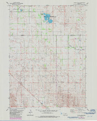
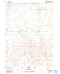
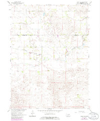
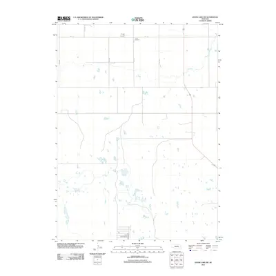
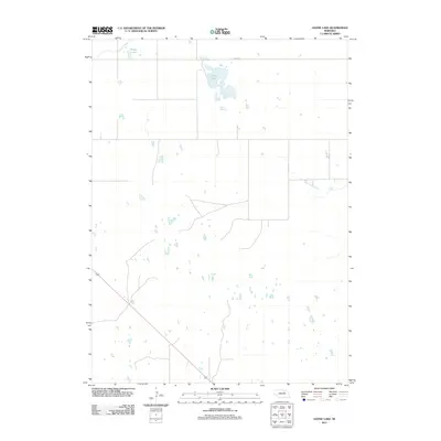
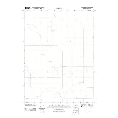
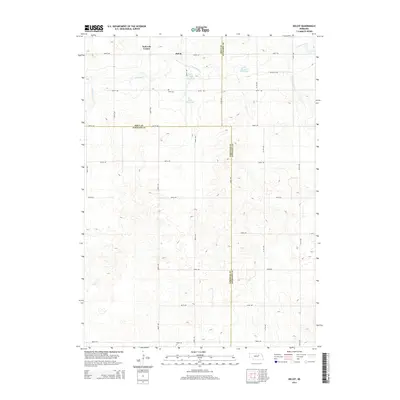
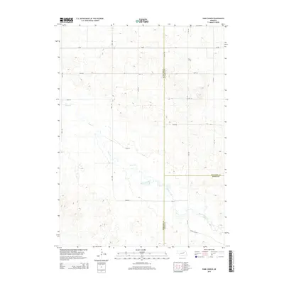
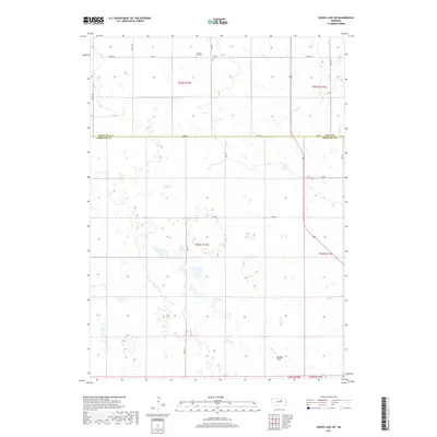
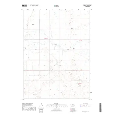
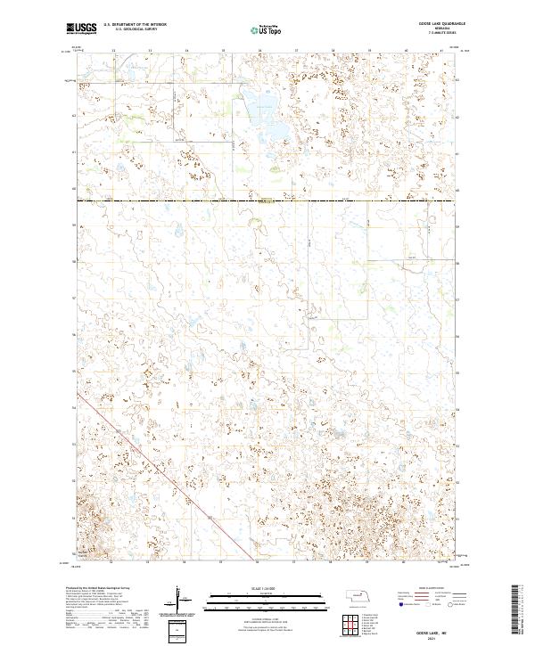
1981 Map of Goose Lake
USGS Topo · Published 1986About this map
Goose Lake State Wildlife Area dominates this section of the Nebraska sandhills, straddling the boundary between Holt and Wheeler Counties. The landscape is defined by its hydrology, featuring a network of wetlands and streams including Cache Creek and Clearwater Creek. Small bodies of water like Detters Lake and the central Goose Lake provide focal points for local recreation and habitat, supported by infrastructure such as a Campground and Boat Ramp.
Find a feature on this map
10 named features on this map. Tap any name to fly to it.
Don’t see what you’re looking for? This feature index may not catch every label — zoom into the map to look around manually.
Map Details
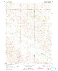
Editions of this 1981 Goose Lake Map
2 editions found
Historical Maps of Holt County Through Time
50 maps found
1954 Bartlett NW
Wheeler County, NE
1954 Bartlett SE
Wheeler County, NE
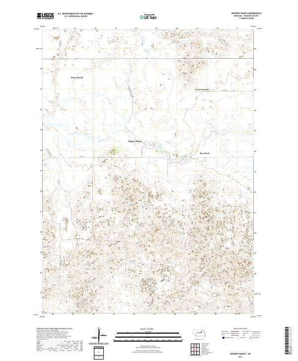
1960 Mignery Ranch
Wheeler County, NE
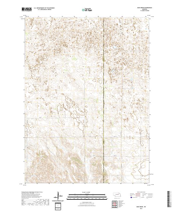
1960 Mud Creek
Wheeler County, NE
1960 Park Church
Wheeler County, NE
1960 School No. 20
Wheeler County, NE
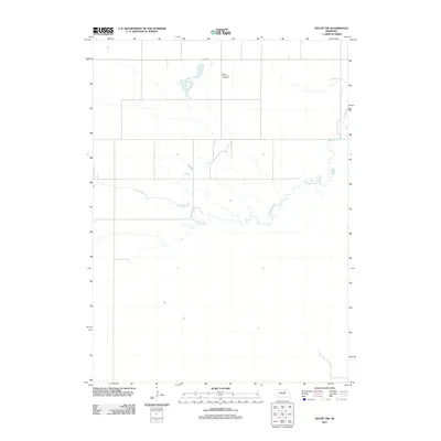
1963 Deloit SW
Wheeler County, NE
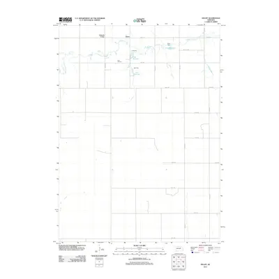
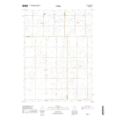
1963 Deloit
Wheeler County, NE
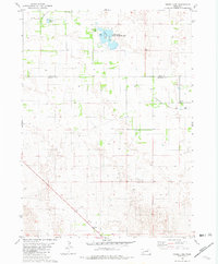
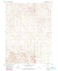
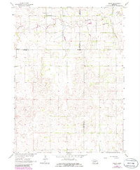
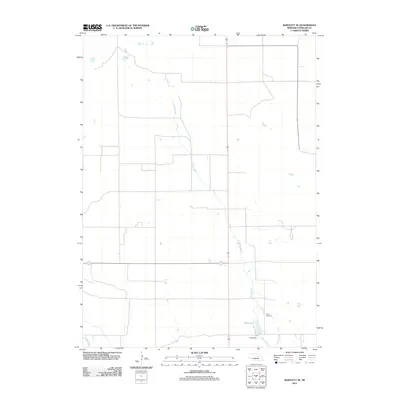
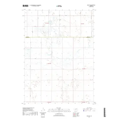
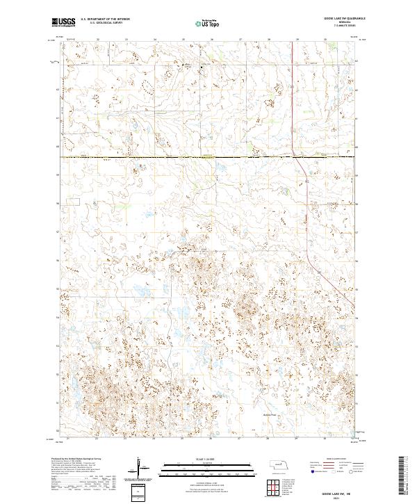
1981 Goose Lake SW
Wheeler County, NE
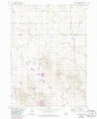
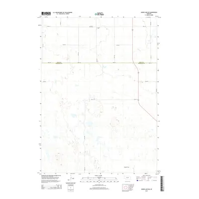
1981 Goose Lake
Wheeler County, NE
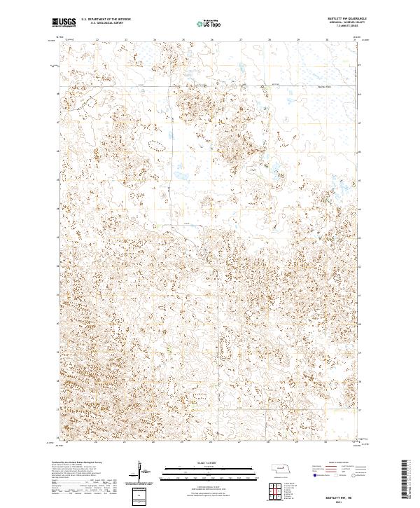
2011 Bartlett NW
Wheeler County, NE
2011 Bartlett SE
Wheeler County, NE
2011 Deloit SW
Wheeler County, NE
2011 Deloit
Wheeler County, NE
2011 Goose Lake SW
Wheeler County, NE
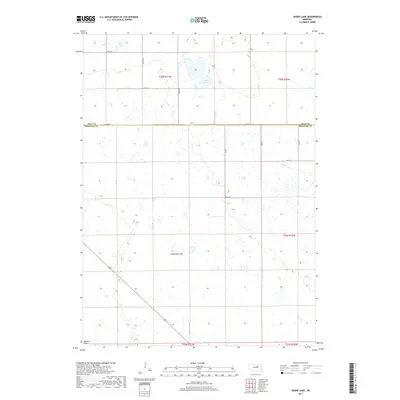
2011 Goose Lake
Wheeler County, NE
2011 Mignery Ranch
Wheeler County, NE
2011 Mud Creek
Wheeler County, NE
2011 Park Church
Wheeler County, NE
2011 School Number 20
Wheeler County, NE
2014 Bartlett NW
Wheeler County, NE
2014 Bartlett SE
Wheeler County, NE
2014 Deloit SW
Wheeler County, NE
2014 Deloit
Wheeler County, NE
2014 Goose Lake SW
Wheeler County, NE
2014 Goose Lake
Wheeler County, NE

2014 Mignery Ranch
Wheeler County, NE
2014 Mud Creek
Wheeler County, NE
2014 Park Church
Wheeler County, NE
2014 School Number 20
Wheeler County, NE
2017 Bartlett NW
Wheeler County, NE
2017 Bartlett SE
Wheeler County, NE
2017 Deloit SW
Wheeler County, NE
2017 Deloit
Wheeler County, NE
2017 Goose Lake SW
Wheeler County, NE
2017 Goose Lake
Wheeler County, NE
2017 Mignery Ranch
Wheeler County, NE
2017 Mud Creek
Wheeler County, NE
2017 Park Church
Wheeler County, NE
2017 School Number 20
Wheeler County, NE
2021 Bartlett NW
Wheeler County, NE
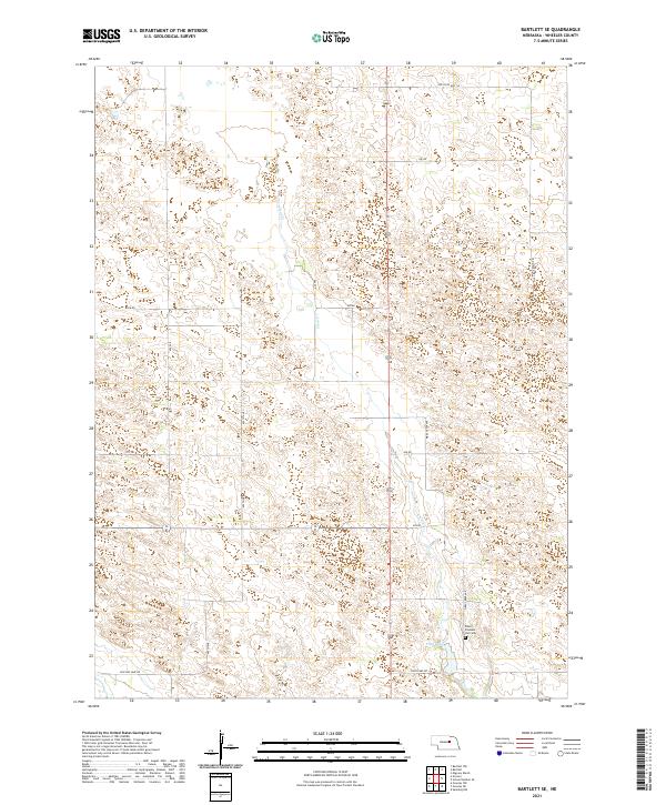
2021 Bartlett SE
Wheeler County, NE
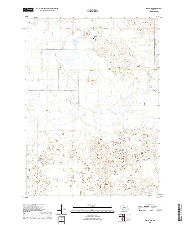
2021 Deloit SW
Wheeler County, NE
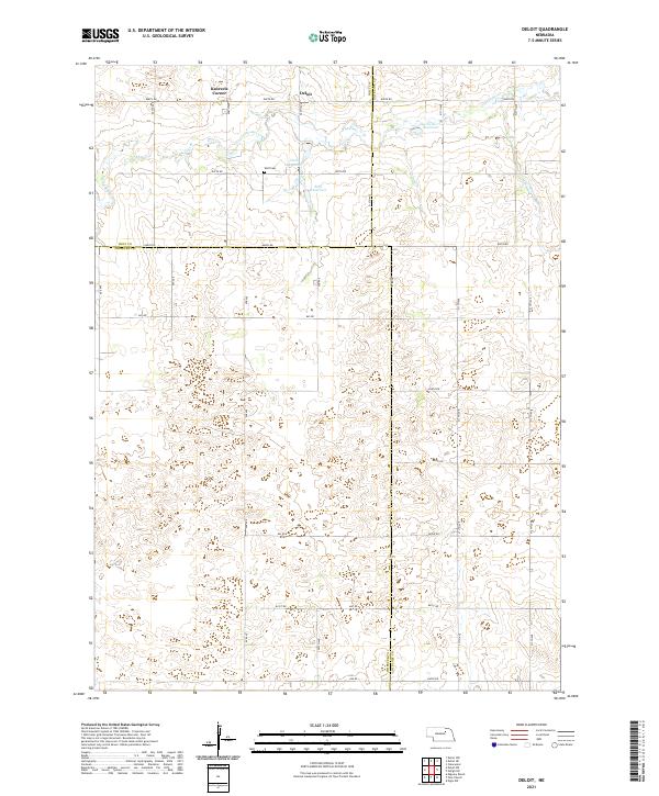
2021 Deloit
Wheeler County, NE
2021 Goose Lake SW
Wheeler County, NE
2021 Goose Lake
Wheeler County, NE
2021 Mignery Ranch
Wheeler County, NE
2021 Mud Creek
Wheeler County, NE
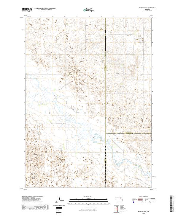
2021 Park Church
Wheeler County, NE
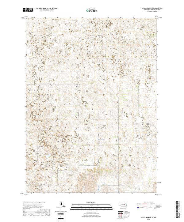
2021 School Number 20
Wheeler County, NE