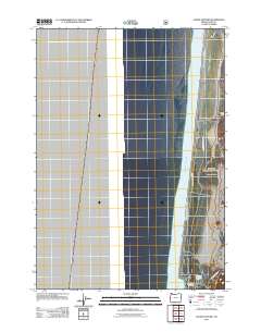
2011 Map of Goose Pasture
USGS Topo · Published 2011About this map
Pacific Ocean swells meet the shifting coastal landscape of Lane County in this early 21st-century survey. The terrain is defined by the sandy expanse of Goose Pasture, a significant feature that illustrates the dynamic nature of the Oregon dunes before they reach the mouth of the Siltcoos River. Modern infrastructure and recreational access are centered around the Siltcoos Lagoon, where the Stagecoach Trailhead provides a jumping-off point for exploring the coastal margin.
Find a feature on this map
8 named features on this map. Tap any name to fly to it.
Don’t see what you’re looking for? This feature index may not catch every label — zoom into the map to look around manually.
Map Details
Editions of this 2011 Goose Pasture Map
This is the sole edition of this map. No revisions or reprints were ever made.
Other maps of this area
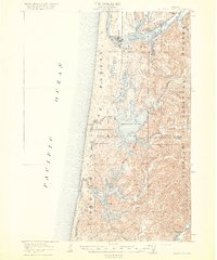
1920 · Siltcoos Lake
USGS Topo · 1:62,500
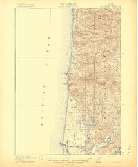
1920 · Heceta Head
USGS Topo · 1:62,500
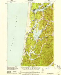
1941 · Siltcoos Lake
USGS Topo · 1:62,500
1942 · Heceta Head
USGS Topo · 1:62,500
1942 · Siltcoos Lake
USGS Topo · 1:62,500
1953 · Salem
USGS Topo · 1:250,000
1954 · Salem
USGS Topo · 1:250,000
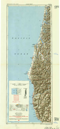
1954 · Coos Bay
USGS Topo · 1:250,000
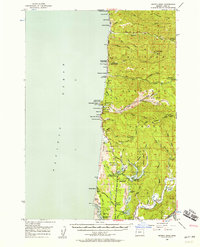
1956 · Heceta Head
USGS Topo · 1:62,500
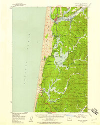
1956 · Siltcoos Lake
USGS Topo · 1:62,500