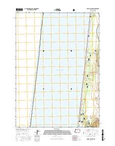
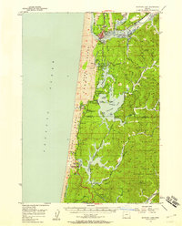
2017 Map of Goose Pasture
USGS Topo · Published 2017About this map
The Siuslaw National Forest dominates this coastal stretch of Lane County, where the terrestrial environment meets the expansive Pacific Ocean. This 2017 survey reveals a dynamic landscape of sand dunes and wetlands, specifically centered on the area known as Goose Pasture. The geography is defined by the transition from open sea to protected inland waterways, including the Siltcoos Lagoon and the winding course of the Siltcoos River. Further north, the map captures the mouth of the Siuslaw River, illustrating the complex hydrology of the Oregon coast. Notable for its ecological features rather than urban development, the map also identifies localized landmarks such as Parking Lot Marsh, which highlights the intricate network of wetlands that characterize this maritime forest boundary.
Find a feature on this map
10 named features on this map. Tap any name to fly to it.
Don’t see what you’re looking for? This feature index may not catch every label — zoom into the map to look around manually.
Map Details
Editions of this 2017 Goose Pasture Map
This is the sole edition of this map. No revisions or reprints were ever made.
Other maps of this area
1920 · Siltcoos Lake
USGS Topo · 1:62,500
1920 · Heceta Head
USGS Topo · 1:62,500
1941 · Siltcoos Lake
USGS Topo · 1:62,500
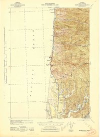
1942 · Heceta Head
USGS Topo · 1:62,500
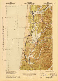
1942 · Siltcoos Lake
USGS Topo · 1:62,500

1953 · Salem
USGS Topo · 1:250,000

1954 · Salem
USGS Topo · 1:250,000
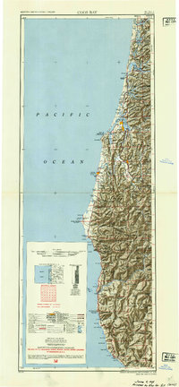
1954 · Coos Bay
USGS Topo · 1:250,000
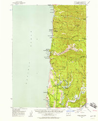
1956 · Heceta Head
USGS Topo · 1:62,500
1956 · Siltcoos Lake
USGS Topo · 1:62,500