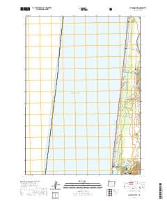
2020 Map of Goose Pasture
USGS Topo · Published 2020About this map
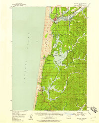
The Siuslaw National Forest meets the Pacific coast in this coastal survey, where the Siuslaw River flows past the South Jetty and into the ocean. The landscape is defined by the shifting interface of water and sand, featuring Lot Marsh to the north and the hydrologic network of Siltcoos Lagoon and the Siltcoos River at the southern boundary. This area, known as Goose Pasture, is crisscrossed by an extensive network of specialized tracks including the Coast Guard N Ohv Trail, Hunters Ohv Trail, and Red Buggy Ohv Trail. These paths trace the dunes and coastal scrub, reflecting the region's modern recreational use within the protected federal forest lands. The map also delineates several land partitions, such as PB 45 through PB 53, which overlay the natural terrain of Lane County.
Find a feature on this map
28 named features on this map. Tap any name to fly to it.
Don’t see what you’re looking for? This feature index may not catch every label — zoom into the map to look around manually.
Map Details
Editions of this 2020 Goose Pasture Map
This is the sole edition of this map. No revisions or reprints were ever made.
Other maps of this area
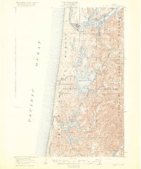
1920 · Siltcoos Lake
USGS Topo · 1:62,500
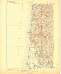
1920 · Heceta Head
USGS Topo · 1:62,500
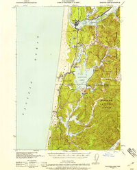
1941 · Siltcoos Lake
USGS Topo · 1:62,500
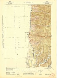
1942 · Heceta Head
USGS Topo · 1:62,500
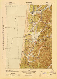
1942 · Siltcoos Lake
USGS Topo · 1:62,500

1953 · Salem
USGS Topo · 1:250,000

1954 · Salem
USGS Topo · 1:250,000
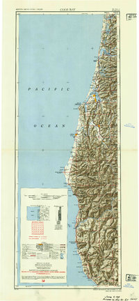
1954 · Coos Bay
USGS Topo · 1:250,000
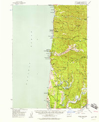
1956 · Heceta Head
USGS Topo · 1:62,500
1956 · Siltcoos Lake
USGS Topo · 1:62,500