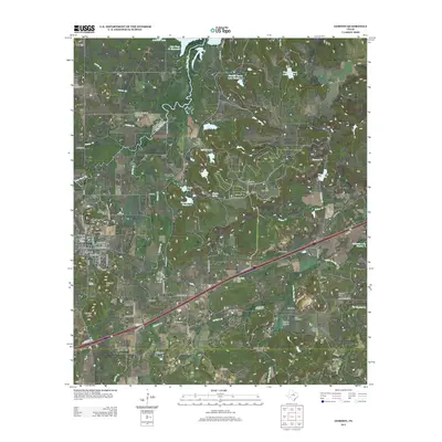
2012 Map of Gordon
USGS Topo · Published 2012About this map
Gordon serves as the focal point of this Palo Pinto County landscape, situated at the intersection of local routes and historical rail paths. The area's settlement history is evident in the dense concentration of burial sites, including the Old Gordon Cem and New Gordon Cem, as well as family-named landmarks like Swank Cem and Gibson Cem. The terrain is characterized by a series of prominent rises such as Mitchell Mtn and Warters Mtn, while the drainage of Palo Pinto Cr and Barton Cr defines the low-lying basins and livestock watering holes.
Find a feature on this map
78 named features on this map. Tap any name to fly to it.
Don’t see what you’re looking for? This feature index may not catch every label — zoom into the map to look around manually.
Map Details
Editions of this 2012 Gordon Map
This is the sole edition of this map. No revisions or reprints were ever made.
Other maps of this area
1890 · Stephenville
USGS Topo · 1:125,000
1891 · Palo Pinto
USGS Topo · 1:125,000
1918 · Palo Pinto
USGS Topo · 1:125,000
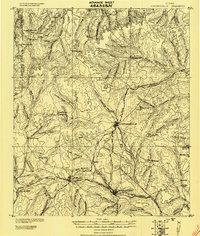
1920 · Stephenville
USGS Topo · 1:125,000
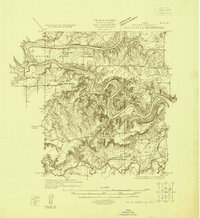
1925 · Palo Pinto 4-b
USGS Topo · 1:48,000
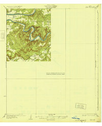
1931 · Santo
USGS Topo · 1:62,500
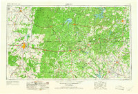
1954 · Abilene
USGS Topo · 1:250,000
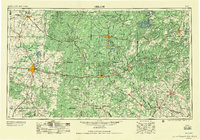
1958 · Abilene
USGS Topo · 1:250,000
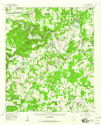
1959 · Lipan
USGS Topo · 1:62,500
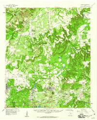
1959 · Gordon
USGS Topo · 1:62,500